CHC Navigation in Esri User Conference 2016
Shanghai, China - (July 1st, 2016) - As the world's largest event dedicated to geographic information system (GIS) technology, the 14th Environmental Systems Research Institute User Conference(Esri UC) was successfully held in San Diego, from June 27th to July 1st. 16,000 students and professionals from the global GIS community has attended to this event. With 300 moderated sessions, 450 hours of technical training, 13 preconference seminars, and numerous demos, talks, labs, the visitors learn the latest GIS technology and known how does the geographic information system (GIS) can help us create a smarter world.
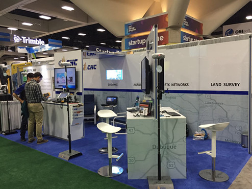
This first year as a silver level ESRI Business Partner, CHC Navigation showed their latest high-precision GIS products and solutions. A huge step in the BYOD (Bring Your Own Device) movement was made by ESRI with enhancements to their iOS and Android "Collector" app for ArcGIS. This new app directly integrates the CHCNAV API for the CHCNAV X20i receivers so that users no longer have to switch away from their GIS task to view advanced positional metadata in the CHCNAV App. The ESRI Collector app paired with the CHCNAV X20i represents the most accurate and easy-to-use decimeter/centimeter level collection solution currently available.