CHC Navigation offers advanced GPS/GNSS machine control systems for excavators, dozers, graders, and compactors. Improve accuracy, cut costs, and complete construction projects faster with reliable global support.
CHC Navigation Introduces C4800 and C7200 360° Panoramic Cameras for Mobile Mapping
20 Oct 2026
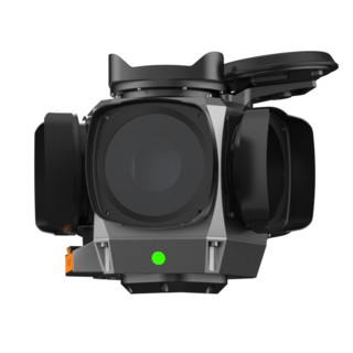
Shanghai, China, October 20, 2026. CHC Navigation (CHCNAV), a global provider of geospatial solutions, announced the launch of the C4800 and C7200, two high-resolution 360° panoramic cameras for professional mobile mapping. Combining global shutter technology, high dynamic range (HDR) imaging, and GNSS synchronization, the cameras support detailed visual documentation from vehicle-mounted survey platforms.
Available as optional cameras for the CHCNAV AU20 mobile mapping system (MMS), the C4800 and C7200 can also be integrated into third-party acquisition systems. These flexible options support road asset mapping, infrastructure inspection, urban surveying, and as-built documentation.
High-Resolution Panoramic Imaging for Asset Mapping
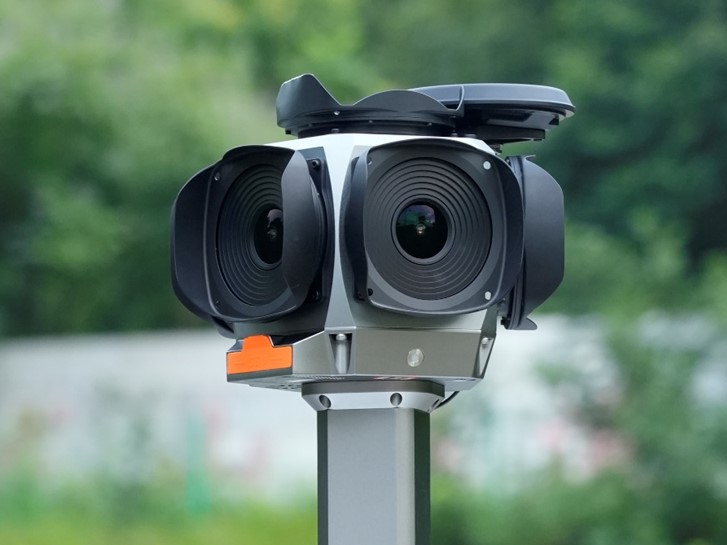
The C7200 captures 72 MP panoramic imagery at up to 10 frames per second, providing detailed visual information for documenting roadside infrastructure, traffic signs, buildings, and other mapped assets.
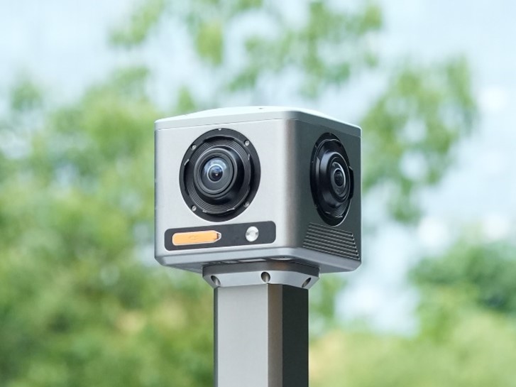
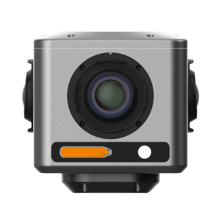
For projects requiring a lighter imaging payload, the C4800 delivers 32 MP panoramic imagery with a 360° × 175° field of view. Weighing just 1.8 kg, its compact design facilitates installation on platforms with limited mounting space.
Together, the two cameras offer imaging options suited to different resolutions, payload, and system integration requirements.
Global Shutter and HDR Imaging for Mobile Mapping
The C4800 and C7200 use 1.1-inch global shutter CMOS sensors to avoid the geometric distortion associated with rolling shutter capture during vehicle movement. This helps maintain image quality when surveying roads and infrastructure at operating speeds. Digital HDR equivalent to 90 dB helps preserve visual detail in scenes with strong lighting contrasts, including bright skies, shaded streets, tunnels, and building facades.
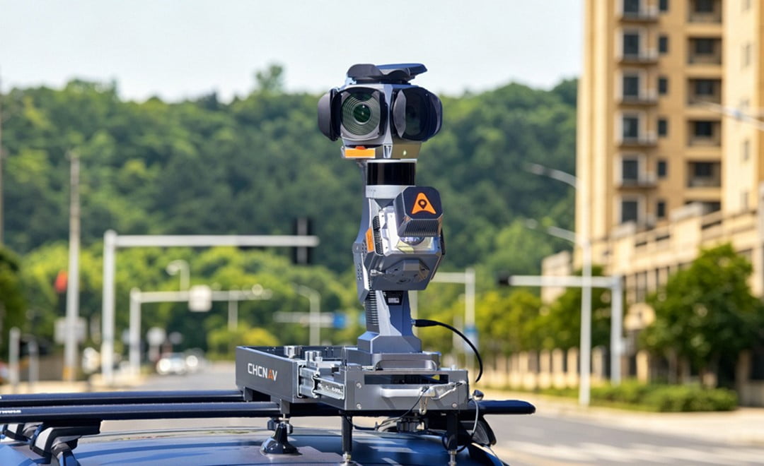
CHCNAV AU20 MMS equipped with the C7200 panoramic camera and mounted on a vehicle for road surveying and infrastructure data collection.
GNSS Synchronization and Flexible System Integration
The C4800 and C7200 include onboard storage and GNSS antennas to simplify installation. External GNSS NMEA and pulse-per-second (PPS) inputs enable image timing synchronization with positioning data, supporting georeferenced panoramic image acquisition.
CHCNAV SmartGo software provides camera control within integrated acquisition workflows. Control and data parsing software development kits (SDKs) allow system integrators to incorporate camera functions and image data into third-party solutions using GNSS/INS systems, LiDAR sensors, and specialized mapping applications.
Availability
The CHCNAV C4800 and C7200 panoramic cameras are available as standalone imaging components and as options for supported AU20 MMS configurations. For product availability and integration requirements, contact CHC Navigation or an authorized partner.
____
About CHC Navigation
CHC Navigation (CHCNAV) develops advanced mapping, navigation, and positioning solutions designed to increase productivity and efficiency. Serving industries such as geospatial, agriculture, machine control, and autonomy, CHCNAV delivers innovative technologies that empower professionals and drive industry advancement. With a global presence spanning over 140 countries and a team of more than 2,200 professionals, CHC Navigation is recognized as a leader in the geospatial industry and beyond. For more information about CHC Navigation [300627.SZ], please visit: https://www.chcnav.com/about/overview