CHC Navigation delivers precision geospatial solutions with advanced mapping systems, unmanned platforms, and GNSS+INS+LiDAR technology for spatial data capture.
Learn More + Go to GeospatialCHC Navigation delivers affordable precision and smart agriculture solutions to help farms of all sizes boost efficiency and yield. Our GPS farming technologies simplify daily operations and raise productivity. Integrating advanced tractor guidance systems and auto-steering achieves centimeter accuracy, improves profitability, and supports sustainable GPS agriculture.
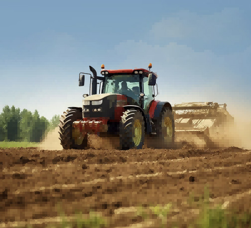
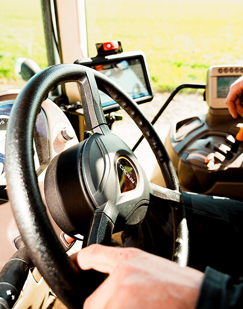
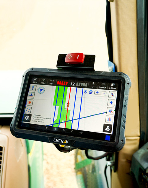
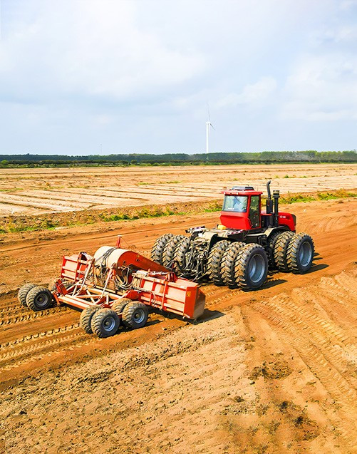
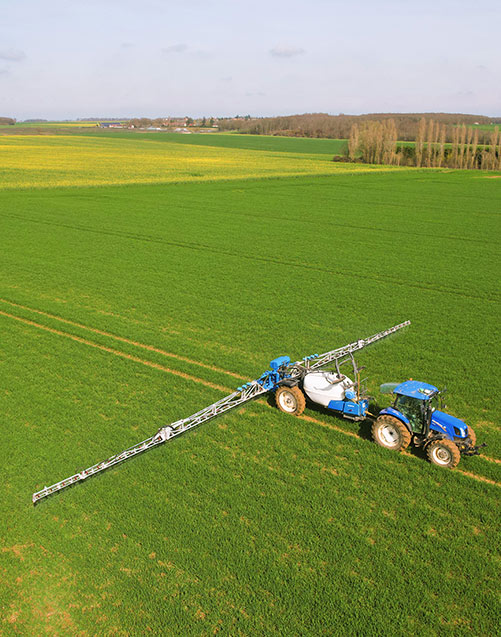
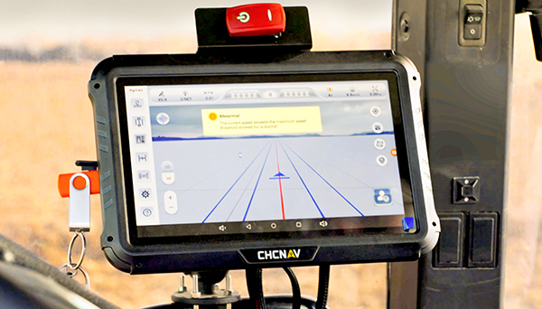
Precision agriculture refers to the use of tools like GPS technology, sensors, and mapping systems to manage field variability with greater control. It supports site-specific operations such as variable-rate seeding or fertilization.
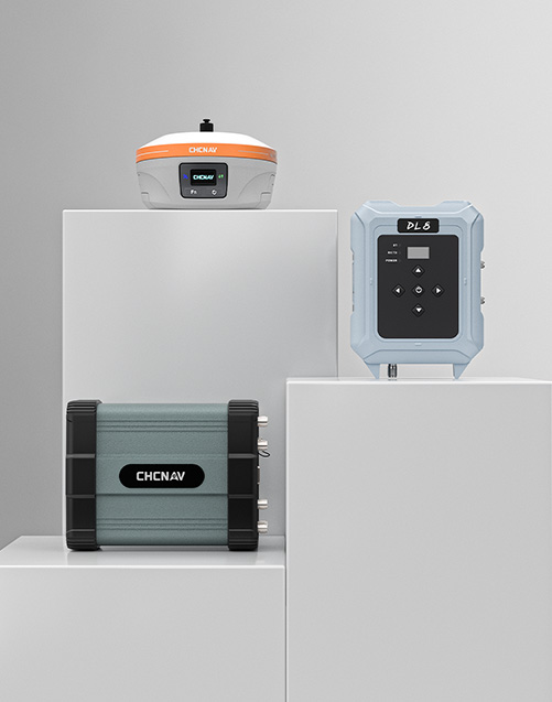
Smart agriculture is a broader concept that includes precision agriculture but also integrates technologies such as automation, connectivity, and data management systems. CHCNAV provides GNSS solutions designed to integrate with various precision agriculture workflows and smart farming environments.
In GPS agriculture, satellite positioning supports tasks like field mapping, equipment guidance, and route planning. Systems that use GPS farming technologies may help reduce overlaps in spraying or seeding and support consistent path following. CHCNAV’s GNSS platforms are designed to assist with field operations by enabling accurate navigation under different working conditions.
A tractor guidance system typically includes a GNSS receiver, control terminal, and steering module. It helps operators follow planned routes more accurately and may reduce manual steering effort during long working hours. CHCNAV offers both manual and assisted steering systems that support agricultural machinery during plowing, spraying, or harvesting.
Positioning technologies like GPS, RTK, and PPP offer different levels of accuracy for agricultural tasks. RTK uses real-time correction signals from a base station to support high-precision guidance, while PPP enables accuracy without a local base. CHCNAV’s GNSS solutions support both RTK and PPP positioning workflows, offering flexible levels of accuracy to meet the needs of various agricultural scenarios.
CHCNAV designs positioning and guidance technologies that support key precision agriculture operations. These include GNSS receivers, base stations, and steering systems that are compatible with a wide range of field applications. CHCNAV's focus on innovation and global support ensures users receive localized services with internationally recognized technologies.