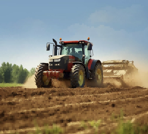
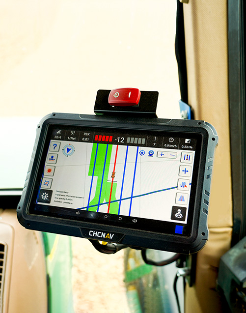
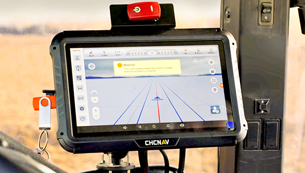
Präzisionslandwirtschaft bezeichnet den Einsatz von Tools wie GPS-Technologie, Sensoren und Kartierungssystemen, um die
Variabilität von Feldern besser zu kontrollieren. Sie unterstützt standortspezifische Vorgänge wie die variable Aussaat oder Düngung.
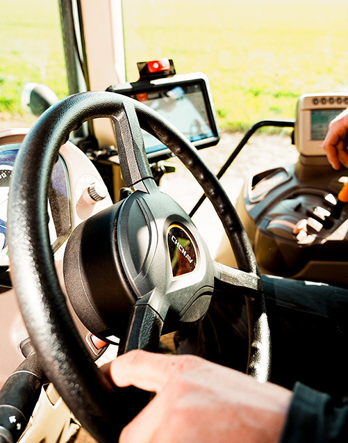
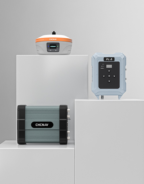
Intelligente Landwirtschaft ist ein weiter gefasster Begriff, der Präzisionslandwirtschaft umfasst, aber auch Technologien wie Automatisierung, Konnektivität und Datenmanagementsysteme integriert. CHCNAV bietet GNSS-Lösungen, die für die Integration in verschiedene Arbeitsabläufe der Präzisionslandwirtschaft und intelligente Landwirtschaftsumgebungen entwickelt wurden.