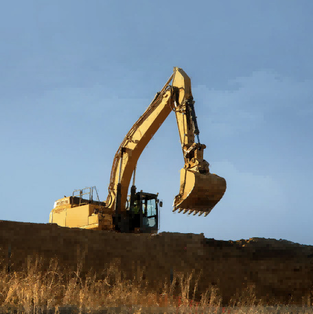
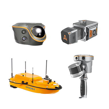
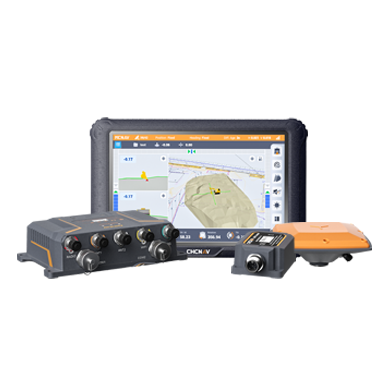
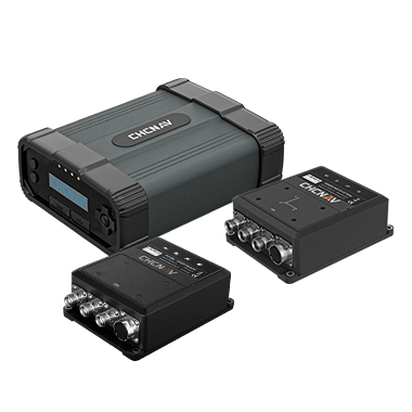
CHC Navigation offers advanced GPS/GNSS machine control systems for excavators, dozers, graders, and compactors. Improve accuracy, cut costs, and complete construction projects faster with reliable global support.
CHC Navigation Introduces CoViewer, a Free Desktop 3D Gaussian Splatting Viewer
8 Oct 2026
Shanghai, China, October 8, 2026. CHC Navigation (CHCNAV), a global provider of geospatial solutions, announced the launch of CHCNAV CoViewer, a free desktop 3D Gaussian Splatting (3DGS) viewer for reviewing and presenting photorealistic 3D deliverables. The software combines interactive navigation, high-quality rendering, multi-format support, and offline viewing in a lightweight Windows application.
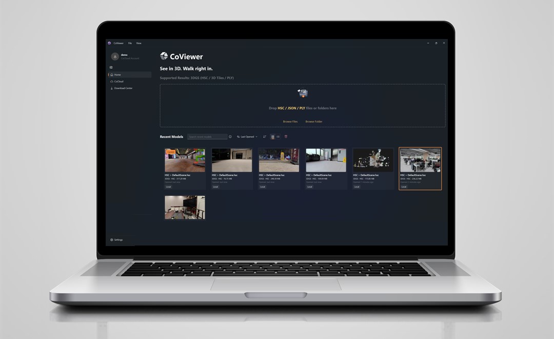
CHCNAV CoViewer home page with file selection for HSC, JSON, and PLY 3DGS files.
Optimized for handheld scanning data and complex indoor environments, CoViewer enables survey, mapping, engineering, and reality capture teams to interactively explore completed 3DGS models rather than relying on fixed images or prerecorded videos. Users can move freely through captured spaces, inspect specific details, and present project results from any viewpoint.
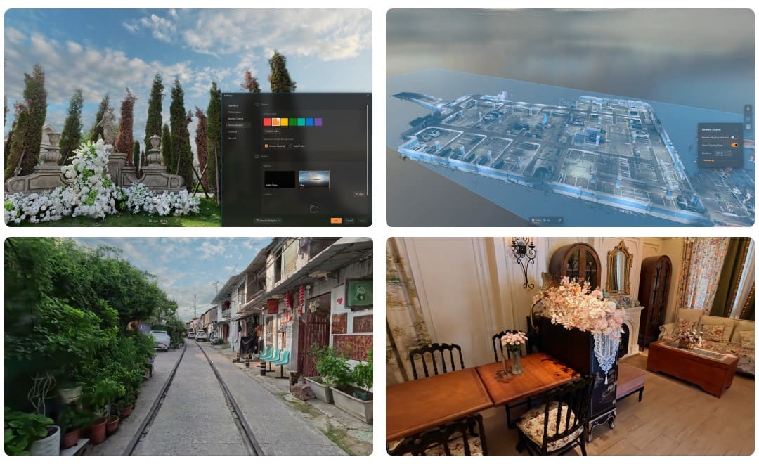
CHCNAV CoViewer interface showing scene customization, elevation clipping, smooth 3DGS navigation, and high-fidelity rendering.
Multi-Format 3DGS Viewing
CoViewer supports PLY, 3D Tiles, and CHCNAV HSC formats in a single desktop environment. PLY provides direct access to standard 3DGS datasets, while 3D Tiles supports larger scenes organized for efficient loading. For CHCNAV-generated deliverables, the HSC format combines compression and hierarchical data organization to improve loading and navigation performance. HSC files can also retain project information such as model origin and acquisition trajectory alongside the 3D scene. CoViewer format flexibility allows teams to review 3DGS deliverables from different processing workflows without converting every project into a proprietary format.
Interactive Navigation for Review and Presentation
Two navigation modes support different review scenarios. Orbit mode allows users to rotate, pan, and zoom around buildings, rooms, equipment, or other areas of interest for detailed inspection. Fly mode enables continuous movement through larger scenes such as corridors, factories, exhibition spaces, and utility tunnels. CoViewer makes spatial relationships easier to explain during project reviews, customer presentations, and deliverable acceptance.
Direct CoCloud-to-Desktop Workflow
CHCNAV CoViewer connects directly with CHCNAV CoCloud, allowing users to sign in, locate completed 3DGS projects, and download models for local visualization. Once downloaded, projects can be viewed offline, making CoViewer suitable for customer demonstrations, project meetings, field offices, and other environments where reliable internet access may not be available. Bringing cloud access and desktop visualization together reduces file preparation steps and provides a streamlined workflow from CoCloud processing to local review and presentation.
Availability
CoViewer is available for Windows 10 and Windows 11 64-bit systems. The current release requires no separate license purchase or activation. Viewing performance depends on dataset size, scene complexity, and computer configuration. Users should refer to the published system requirements when preparing large scenes or high-resolution demonstrations.
____
About CHC Navigation
CHC Navigation (CHCNAV) develops advanced mapping, navigation, and positioning solutions designed to increase productivity and efficiency. Serving industries such as geospatial, agriculture, machine control, and autonomy, CHCNAV delivers innovative technologies that empower professionals and drive industry advancement. With a global presence spanning over 140 countries and a team of more than 2,200 professionals, CHC Navigation is recognized as a leader in the geospatial industry and beyond. For more information about CHC Navigation [300627.SZ], please visit: https://www.chcnav.com/about/overview