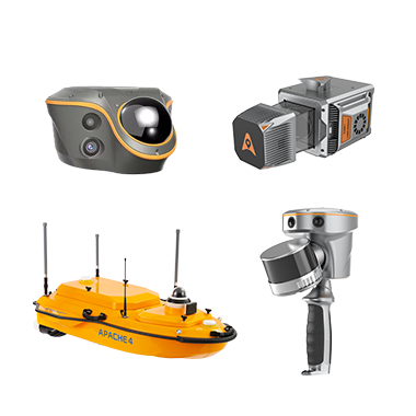
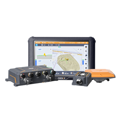
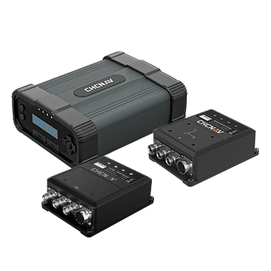
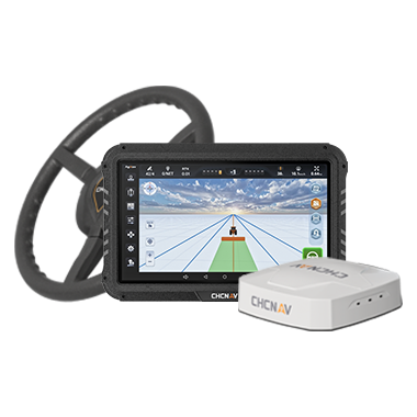
CHC Navigation offers advanced GPS/GNSS machine control systems for excavators, dozers, graders, and compactors. Improve accuracy, cut costs, and complete construction projects faster with reliable global support.
CHC Navigation Introduces M7 and B7 Series High-Precision GNSS Modules and Boards for Embedded Positioning
16 Sept 2026
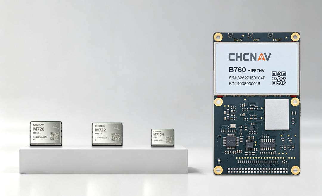
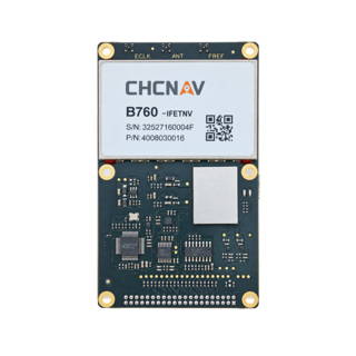
Shanghai, China, September 16, 2026. CHC Navigation (CHCNAV), a global provider of positioning and geospatial technologies, announced the M7 and B7 Series, a new portfolio of high-precision OEM GNSS modules and receiver boards for embedded positioning and navigation. The portfolio includes the M710N, M720 and M722 GNSS modules and the B760 GNSS board, providing centimeter-level positioning for robotics, autonomous systems, precision agriculture, UAVs, machine control, monitoring and GNSS reference infrastructure.
Built on CHCNAV’s StellaX GNSS architecture, the portfolio gives equipment manufacturers and system integrators multiple options for compact integration, dual-antenna heading, high-rate GNSS data and precise timing.
CHCNAV M7 and B7 Series GNSS modules displayed together, showcasing compact high-precision positioning solutions for embedded applications, robotics, autonomous systems, precision agriculture, UAVs and professional GNSS infrastructure.
StellaX GNSS Architecture for Reliable Embedded Positioning
The M7 and B7 Series combine the StellaX RF-baseband GNSS SoC with CHCNAV RTK and positioning algorithms developed through more than 20 years of GNSS experience. The platform supports all-constellation, multi-frequency tracking across 1,892 channels, including 512 anti-jamming channels. Integrated multipath mitigation and interference monitoring and suppression are designed to improve positioning reliability in environments affected by signal obstruction or electromagnetic interference. The portfolio also supports satellite-based correction services including CHCNAV PointSky, BeiDou PPP-B2b, Galileo HAS and QZSS CLAS, extending high-accuracy positioning beyond conventional network RTK coverage.
OEM GNSS Modules for Robotics, Autonomy and Precision Agriculture
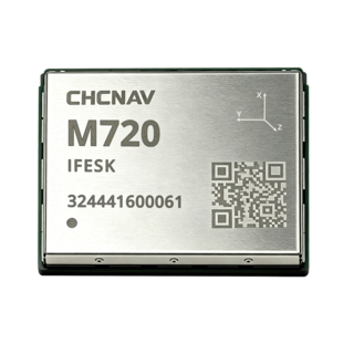
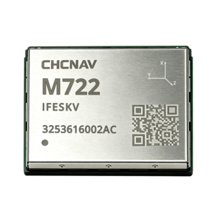
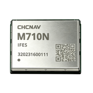
The compact M710N is designed for space-constrained OEM applications such as robotic lawn mowers, UAVs and compact agricultural equipment. The M720 provides high-precision GNSS positioning for robotics, autonomous machines and precision agriculture applications that require reliable RTK performance under changing field conditions. For systems that require both position and orientation, the dual-antenna M722 provides 0.1 degree heading accuracy with a 1 m antenna baseline. This supports automated steering, autonomous machinery and robotic applications where precise heading is required together with centimeter-level positioning.
B760 GNSS Board for High-Rate Data and Reference Applications
The B760 expands the portfolio to professional GNSS infrastructure and monitoring applications. It supports high-rate raw GNSS data and precise timing for CORS reference stations, monitoring systems, static surveying and other embedded positioning applications. With raw GNSS data output up to 100 Hz, the B760 supports systems that require continuous observations, higher data rates and dependable timing.
Flexible High-Precision GNSS for OEM Integration
By combining multi-frequency GNSS tracking, RTK positioning, dual-antenna heading, correction-service compatibility and interference mitigation within a common StellaX architecture, the M7 and B7 Series provide a scalable embedded GNSS platform for equipment manufacturers and system integrators. The portfolio allows developers to select a GNSS module or receiver board according to size, positioning, heading, data-rate and application requirements, supporting integration across field robotics, autonomous equipment, agricultural machinery, UAVs, machine control and professional positioning infrastructure.
____
About CHC Navigation
CHC Navigation (CHCNAV) develops advanced mapping, navigation, and positioning solutions designed to increase productivity and efficiency. Serving industries such as geospatial, agriculture, machine control, and autonomy, CHCNAV delivers innovative technologies that empower professionals and drive industry advancement. With a global presence spanning over 140 countries and a team of more than 2,200 professionals, CHC Navigation is recognized as a leader in the geospatial industry and beyond. For more information about CHC Navigation [300627.SZ], please visit: https://www.chcnav.com/about/overview