CHC Navigation offers advanced GPS/GNSS machine control systems for excavators, dozers, graders, and compactors. Improve accuracy, cut costs, and complete construction projects faster with reliable global support.
CHC Navigation Showcases Connected Geospatial Workflows at INTERGEO 2026
22 Sept 2026
Shanghai, China, September 22, 2026. CHC Navigation (CHCNAV) concluded its participation at INTERGEO 2026 in Munich, Germany, showcasing how positioning services, reality capture systems, professional software, cloud platforms, construction technologies, and hydrographic solutions can connect field operations with project-ready geospatial deliverables.
Held from September 15 to 17 at Messe München, INTERGEO brought together the international geospatial community around technologies shaping surveying, mapping, construction, infrastructure, and digital transformation. Under the theme “One Connected Workflow. From Capture to Delivery.”, CHC Navigation demonstrated workflows spanning field data capture and positioning through processing, analysis, collaboration, and final delivery.
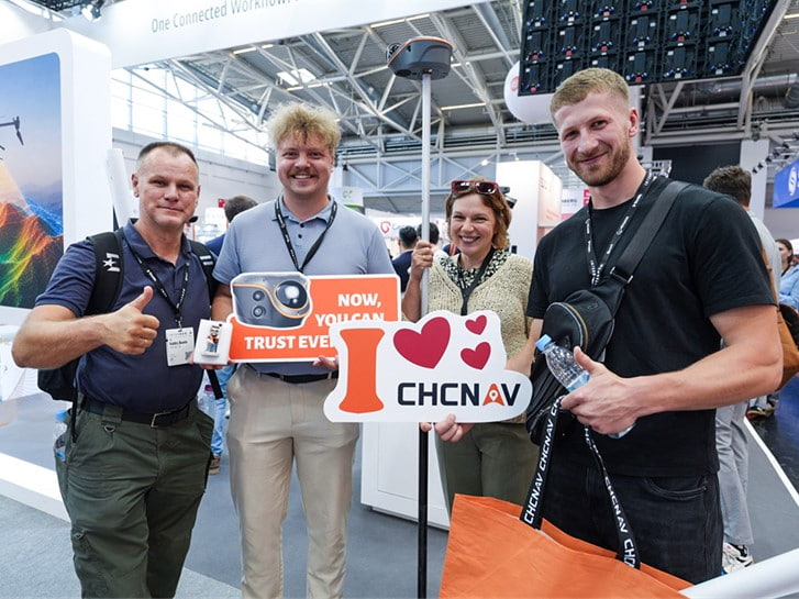
Left: CHCNAV showcases its latest geospatial solutions at INTERGEO 2026. Right: Visitors pose with the CHCNAV Vili i100 Visual-LiDAR GNSS RTK Receiver at INTERGEO 2026.
Extending Reliable Positioning with PointX
A key focus of CHCNAV's surveying area was PointX, its integrated high-precision positioning infrastructure combining PointNet network RTK and PointSky satellite-based GNSS correction services. PointNet delivers NRTK corrections through regional reference networks via Internet and NTRIP, while PointSky provides PPP-based corrections through L-band satellite delivery. Demonstrated alongside CHCNAV receivers incorporating StellaX GNSS technology, PointX illustrated how positioning hardware and correction services can work together to support centimeter-level positioning across connected, remote, and infrastructure-limited environments while reducing dependence on local base stations.
During an INTERGEO Expo Stage session, Minja Maunaga, Regional Account Manager, presented how PointX combines NRTK and satellite-based corrections within one positioning infrastructure, helping users adapt to changing connectivity and operating conditions.
Connecting Reality Capture to Digital Deliverables
CHC Navigation also placed emphasis on the software layer connecting reality capture to usable project outputs. At the CHCNAV Software Experience Hub, systems including the RS10 were demonstrated alongside CoPre, CoProcess, CoCloud, and CoMeta, showing how field acquisition, point cloud processing, cloud collaboration, photogrammetry, and 3D visualization can form a more continuous digital workflow. A major highlight was AI-assisted scan-to-CAD automation in CoProcess, aimed at reducing manual extraction and accelerating the conversion of point cloud data into CAD deliverables. The recently introduced CoMeta software extended this workflow into professional photogrammetry and native 3D Gaussian Splatting, producing orthomosaics, digital surface models, textured 3D meshes, and photorealistic 3DGS models from UAV and camera imagery.
During a second INTERGEO session, Andrei Gorb, Regional BD Head, presented how connected hardware and software can link reality capture, automated feature extraction, processing, and final deliverables while reducing manual steps in 3D mapping projects.
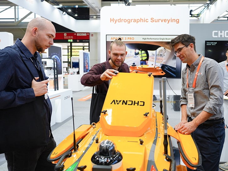
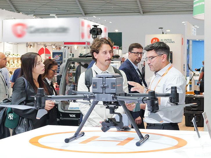
Visitors explore solutions at the CHCNAV booth during INTERGEO 2026, including the APACHE 4 PRO USV and X500 UAV.
Expanding Connected Workflows in Construction and Hydrography
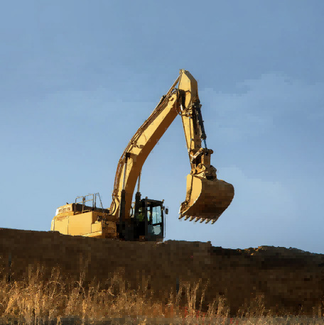
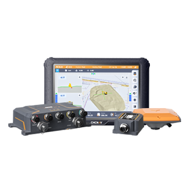
In digital construction, CHC Navigation demonstrated the TX73 3D excavator machine control system and previewed the upcoming SiteOffice and SiteCloud platforms. Together, these developments extend the CHCNAV construction portfolio beyond machine guidance toward connected workflows linking digital designs, machines, field operations, and project information.
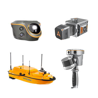
For hydrographic surveying, CHCNAV showcased the APACHE 4 PRO USV, D60 dual-frequency single-beam echo sounder, and HN-400M multibeam echosounder. The technologies support bathymetric and hydrographic surveying across rivers, lakes, reservoirs, channels, ports, and nearshore environments, with platforms and sensors designed to address different survey depths, conditions, and project requirements.
Building a More Connected Geospatial Ecosystem
INTERGEO 2026 reflected an industry increasingly shaped by GeoAI, digital twins, reality capture, Earth observation, BIM, and connected geospatial data infrastructures. According to the organizer, the event welcomed more than 18,600 visitors from 121 countries, over 530 exhibitors from 44 countries, and 1,250 conference participants from 46 countries.
For CHC Navigation, INTERGEO demonstrated how an expanding portfolio of sensors, positioning services, software, cloud technologies, and application-specific systems can reduce fragmentation between individual project stages. Looking ahead, CHC Navigation will continue investing in technologies that connect capture, positioning, processing, analysis, and delivery, while working with customers and partners to make complex geospatial workflows more efficient and practical worldwide.
____
About CHC Navigation
CHC Navigation (CHCNAV) develops advanced mapping, navigation, and positioning solutions designed to increase productivity and efficiency. Serving industries such as geospatial, agriculture, machine control, and autonomy, CHCNAV delivers innovative technologies that empower professionals and drive industry advancement. With a global presence spanning over 140 countries and a team of more than 2,200 professionals, CHC Navigation is recognized as a leader in the geospatial industry and beyond. For more information about CHC Navigation [300627.SZ], please visit: https://www.chcnav.com/about/overview
Have a question about our solutions or dealership opportunities?