CHC Navigation offers advanced GPS/GNSS machine control systems for excavators, dozers, graders, and compactors. Improve accuracy, cut costs, and complete construction projects faster with reliable global support.
We offer tractor guidance and auto-steering systems for farms of any size, powered by GPS farming technologies. Improve your precision agriculture practices with smart agriculture solutions starting today.
CHC Navigation Announces IS100 Implement Guidance System to Improve Farming Precision
2025-10-31
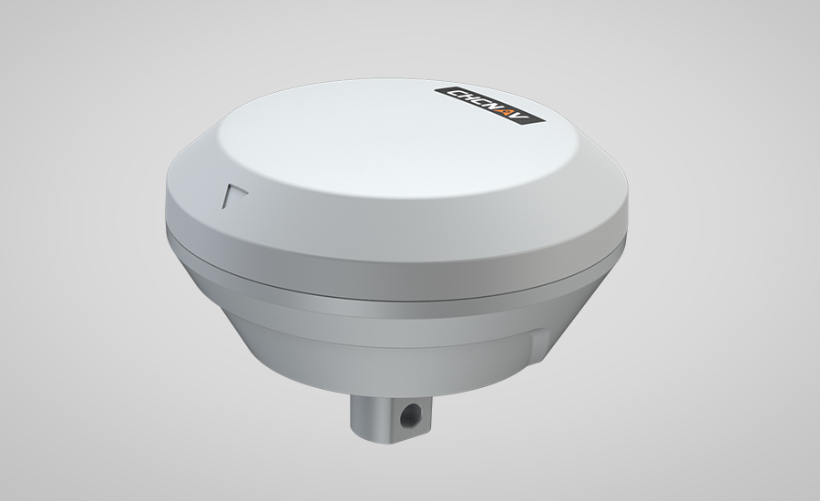
Shanghai, China – October 31 , 2025– CHC Navigation (CHCNAV), a global provider of precision agriculture solutions, today announced the availability of the IS100 Implement Guidance System. This new solution is engineered to increase the accuracy of mounted agricultural equipment by actively correcting its position in real time.
High-Precision Implement Control
The IS100 delivers row spacing accuracy of up to ±1.5 cm. By using advanced terrain compensation algorithms, the system minimizes overlaps and skips, maintaining a consistent path for the implement. This enhanced control is particularly effective for single-point-hitch equipment and can contribute to an increase in usable land area.
Consistent Performance for Efficient Operations
Engineered to support modern farming workflows, the IS100 maintains its accuracy at operational speeds of up to 12 km/h. This allows operators to complete time-sensitive tasks, such as seeding corn, cotton, or potatoes, more rapidly without a reduction in placement quality.
Simplified Setup and Operation
The system is designed for straightforward installation, featuring a quick-assembly bracket that facilitates rapid setup and removal. Implements require only a one-time calibration, which eliminates the need for repeated adjustments when switching equipment and reduces downtime in the field.
Integrated Data for Farm Management
The IS100 automatically logs essential operational data, including working hours and field tracks for each implement. This information can be used to inform and optimize subsequent field operations, such as inter-row cultivation, spraying, and harvesting, leading to more efficient farm management. The IS100 Implement Guidance System is available immediately through CHCNAV’s global distribution network.
____
About CHC Navigation
CHC Navigation (CHCNAV) develops advanced mapping, navigation and positioning solutions designed to increase productivity and efficiency. Serving industries such as geospatial, agriculture, construction and autonomy, CHCNAV delivers innovative technologies that empower professionals and drive industry advancement. With a global presence spanning over 140 countries and a team of more than 2,000 professionals, CHC Navigation is recognized as a leader in the geospatial industry and beyond. For more information about CHC Navigation [Huace:300627.SZ], please visit: www.chcnav.com