CHC Navigation offers advanced GPS/GNSS machine control systems for excavators, dozers, graders, and compactors. Improve accuracy, cut costs, and complete construction projects faster with reliable global support.
We offer tractor guidance and auto-steering systems for farms of any size, powered by GPS farming technologies. Improve your precision agriculture practices with smart agriculture solutions starting today.
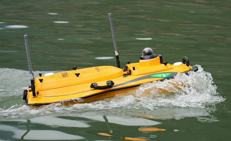
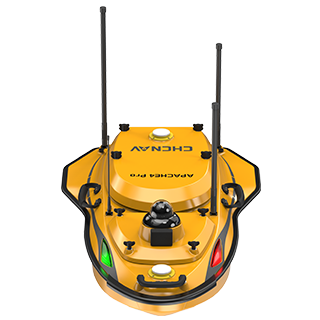
CHC Navigation Introduces APACHE 4 PRO: A Multi-Purpose USV for Comprehensive Hydrographic Surveys
2026-01-01
Shanghai, China – January 1, 2026 – CHC Navigation (CHCNAV), a global provider of geospatial solutions, announces the launch of the APACHE 4 PRO, a versatile Unmanned Surface Vessel (USV) designed for a wide range of hydrographic and bathymetric survey applications. By integrating a rugged hull design, versatile instrument compatibility, and intelligent navigation capabilities, the APACHE 4 PRO provides a reliable platform for detailed underwater mapping and environmental monitoring.
Apache 4 Pro - versatile USV for hydrological and bathymetric surveys.
Adaptable Platform for Diverse Survey Payloads
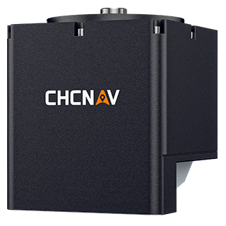
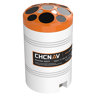
The APACHE 4 PRO is engineered for mission flexibility. The USV seamlessly accommodates various mainstream Acoustic Doppler Current Profilers (ADCPs) and integrates with the CHCNAV HQ-400 Multibeam Echo Sounder (MBES). This allows survey professionals to configure the vessel for specific tasks, from bathymetric mapping and current profiling to water quality analysis, enabling complete end-to-end survey workflows.
Rugged Hull and Anti-Entanglement Design
The APACHE 4 Pro’s triple-hull structure is built from high-strength carbon fiber using one-piece molding technology, providing resistance to collisions and impacts. Protective mesh covers over the propulsion system reduce the risk of mechanical damage during operations. An integrated titanium alloy mesh and hybrid water-flow design help prevent entanglement with vegetation; in case of obstruction, on-screen alerts notify the operator to take corrective action.
Intelligent Operation and Real-Time Control
Equipped with adaptive navigation algorithms and anti-interference transducers, the APACHE 4 PRO ensures precise data collection in complex underwater terrains. Operators can plan missions, monitor progress, and adjust parameters in real time via the Android-based EasySail app, which offers 4G and 2.4 GHz connectivity for remote control. Features such as automated route planning, obstacle detection alerts, and dual GNSS antenna positioning enhance safety and efficiency during autonomous deployments.
____
About CHC Navigation
CHC Navigation (CHCNAV) develops advanced mapping, navigation, and positioning solutions designed to increase productivity and efficiency. Serving industries such as geospatial, agriculture, construction and autonomy, CHCNAV delivers innovative technologies that empower professionals and drive industry advancement. With a global presence spanning over 140 countries and a team of more than 2,000 professionals, CHC Navigation is recognized as a leader in the geospatial industry and beyond. For more information about CHC Navigation [Huace:300627.SZ], please visit: www.chcnav.com