INTERGEO 2022, the world's largest geospatial exhibition, was held in Essen, Germany, from October 18-20. With 457 exhibitors from 31 countries and more than 14,000 trade visitors from 102 countries, INTERGEO was undoubtedly back to its pre-epidemic status.
This year, the organizers placed special emphasis on digital twins, smart cities, and building information modeling (BIM).
With a series of innovative products and solutions, CHC Navigation welcomed professional guests from all over the world. Integrated and cost-effective solutions for aerial, terrestrial, and marine mapping and surveying were presented by CHCNAV and attracted significant attention.
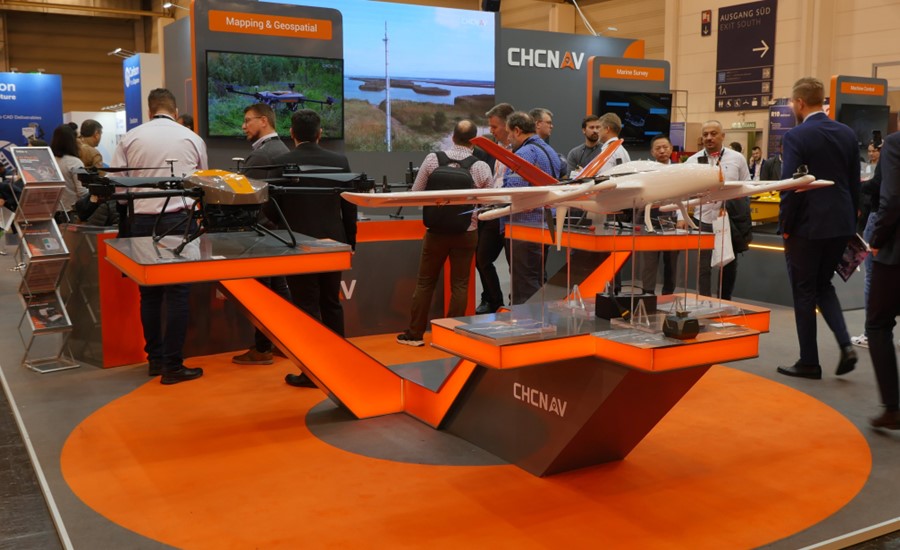
Figure 1. CHCNAV P330 PRO VTOL drone and BB4 UAV.
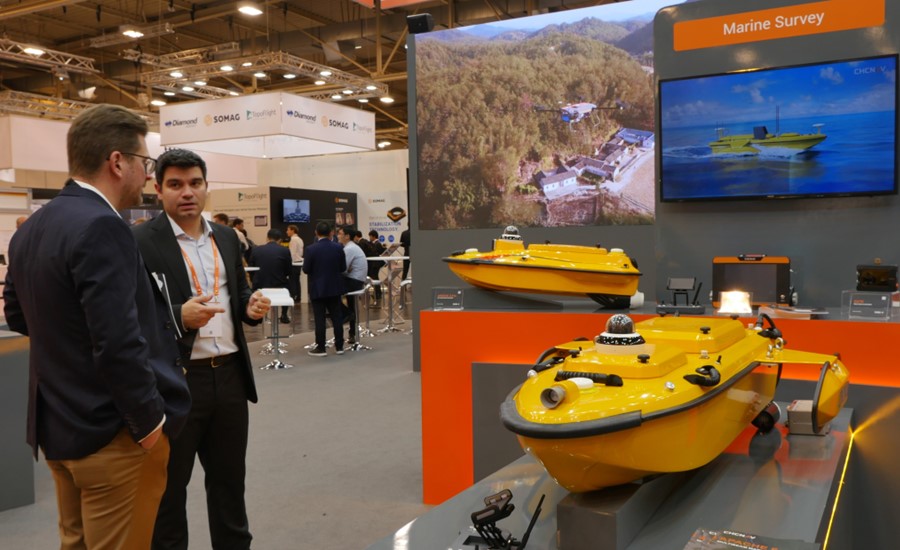
Figure 2. CHCNAV Apache 6 USV, a full-integrated solution for 3D bathymetric survey.
Distributors and customers also came to discuss CHC Navigation's solutions for construction sites, from GNSS rovers with CAD field surveying software to GNSS machine control technologies for excavators, bulldozers, and graders.
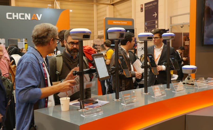
Figure 3. CHCNAV GNSS IMU RTK smart antennas, field controllers, and tablets.

Figure 4. CHCNAV TG 63 automatic control system for motor graders.
CHCNAV thanks all its customers and business partners for their visit to our INTERGEO booth and their continued interest in our geospatial products and solutions. We look forward to seeing them again at INTERGEO 2023 in Berlin!
____
About CHCNAV
CHC Navigation (CHCNAV) creates innovative GNSS navigation and positioning solutions to make customers' work more efficient. CHCNAV products and solutions cover multiple industries such as geospatial, construction, agriculture, and marine. With a presence across the globe, distributors in more than 120 countries, and more than 1,500 employees, today, CHC Navigation is recognized as one of the fastest-growing companies in geomatics technologies.