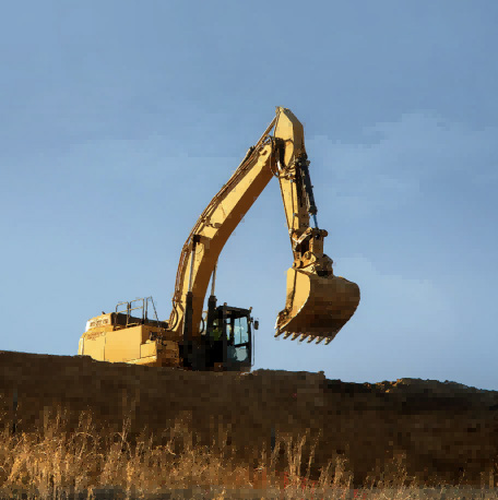
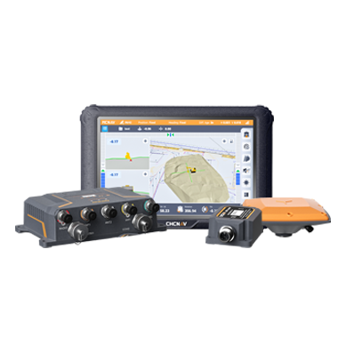
CHC Navigation offers advanced GPS/GNSS machine control systems for excavators, dozers, graders, and compactors. Improve accuracy, cut costs, and complete construction projects faster with reliable global support.
CHC Navigation: What the Next Phase of Geospatial Technology Looks Like
13 Jul 2026
Across surveying, construction, infrastructure, utilities, and asset management, geospatial data is no longer a specialist output used only at isolated stages of a project. It is becoming an operational input, captured frequently, processed quickly, and relied upon to guide decisions both on site and in the office. This evolution is changing how technology is evaluated and what professionals expect from geospatial solution providers.
Accuracy, once the primary benchmark, is now largely assumed. What differentiates technology today is reliability in real-world conditions, integration across workflows, and the ability to scale globally while remaining practical at the local level.
The following takeaways highlight how CHC Navigation addresses this transition and the broader changes shaping the next phase of geospatial work.
Technology Leadership as a Strategic Foundation
Long-term leadership in geospatial technology requires ownership of the core technologies that underpin performance, reliability, and workflows. In practical terms, this means controlling the full value chain, from positioning engines and sensors to algorithms, firmware, hardware platforms, software, and cloud services. This approach allows innovation to progress in a coordinated way, rather than being constrained by external dependencies or fragmented product cycles.
George Zhao, CEO and Founder of CHC Navigation, presenting the company's geospatial technology strategy.
This level of technology ownership translates into tangible outcomes for users and partners. Solutions behave more consistently across environments, and workflows remain stable as projects scale in size or complexity. It also strengthens confidence in long-term roadmaps, service continuity, and product ecosystem development. These factors matter when organizations standardize operations and partners build multi-year business plans.
Technology ownership also reinforces CHC Navigation’s “global reach, local execution” model. A unified technical foundation makes it easier to adapt solutions to regional requirements without fragmenting system architectures. Local teams can focus on application expertise, customer proximity, and dependable delivery, rather than managing disconnected ecosystems.
In an industry where some players are increasingly software-centric while others remain limited to single-technology niches, this balanced approach aims to combine innovation with stability, and scale with long-term relevance for geospatial communities.
Precision Infrastructure: Why GNSS Still Matters
Despite frequent claims that GNSS has become commoditized, real-world positioning performance still depends on how technology is designed, integrated, and supported. This was highlighted at the CHCNAV Connect 2026 conference in February 2026, where CHC Navigation unveiled its StellaX and PointX platforms, underscoring sustained R&D investment in precision positioning and navigation infrastructure.
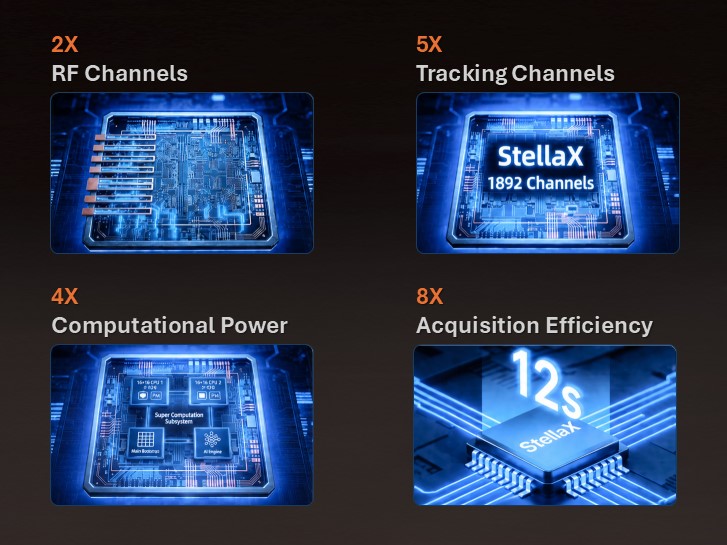
StellaX operates at the chipset and signal-processing level, where positioning performance is defined long before data reaches field software. By controlling this layer, CHC Navigation can optimize tracking stability, resistance to interference, and consistency across diverse operating conditions.
PointX complements this hardware foundation with GNSS correction services designed to extend positioning availability. By combining satellite-based and network-based correction options, it helps reduce dependence on any single operating model and improves continuity from dense urban areas to remote sites.
Presentation of StellaX, introducing its key features and benefits for reliable GNSS positioning.
Together, StellaX and PointX reflect a shift in how precision positioning is evaluated. The priority is no longer peak performance under ideal conditions, but continuity, confidence, and operational stability. This reduces uncertainty in the field and supports service-led value creation around a positioning platform that can be deployed consistently across markets.
Software, Automation, and Practical Intelligence
As geospatial technology becomes embedded within broader operational workflows, software plays an increasingly central role. Surveying and mapping are no longer standalone tasks. They are integral components of construction execution, infrastructure management, and asset lifecycle processes.
Today, geospatial software increasingly focuses on usability, automation, and workflow continuity. The objective is not to replace professional expertise, but to reduce manual friction and allow teams to focus on interpretation and execution rather than repetitive data handling.
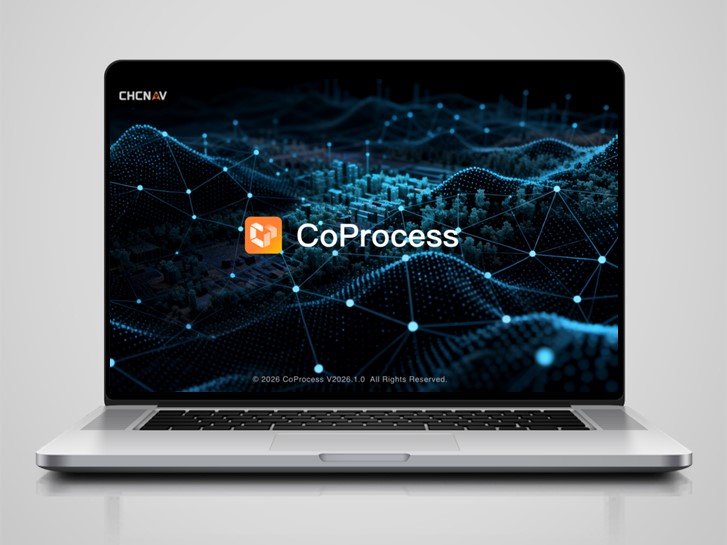
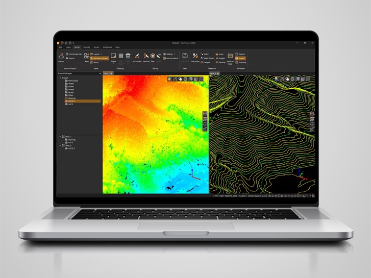
CoProcess, a 3D point cloud processing software solution for Scan-to-CAD and terrain modeling.
Automation already plays a significant role in point cloud processing, feature extraction, classification, and deliverable preparation. These capabilities shorten project timelines and make advanced workflows accessible to a wider range of users, including those who are not dedicated geospatial specialists.
Artificial intelligence is addressed within the same pragmatic framework. Rather than positioning AI as a separate layer, the emphasis is on embedding intelligent functions incrementally to improve field reliability, data consistency, and output quality. The value lies in tangible gains, such as reduced rework, faster validation, cleaner deliverables, and more repeatable results, rather than abstract promises.
Reality Capture Becomes Everyday Work
Another emerging trend is the transition of reality capture from specialist use to daily operations. Across architecture, engineering, construction, and infrastructure management, spatial data is increasingly captured as part of routine work rather than through isolated survey campaigns.
This shift is driven by tighter project timelines, growing documentation requirements, and the need to validate work continuously rather than retrospectively. As a result, expectations around reality capture technology are changing. Usability, consistency, and workflow integration now matter as much as theoretical maximum accuracy.
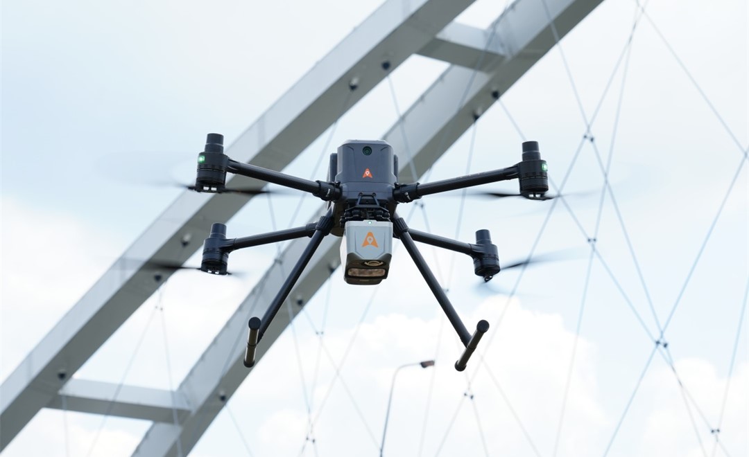
The X500 UAV with the AlphaAir 10 Professional Airborne LiDAR+RGB System performs high-accuracy aerial mapping of a bridge.
Photorealistic 3D outputs and techniques such as 3D Gaussian Splatting are positioned not simply as visual enhancements, but as practical tools to improve understanding and communication of spatial information across teams.
As capture becomes routine, the value of spatial data extends across more phases of a project, from progress tracking to verification and handover. The market is also moving toward recurring operational use cases rather than one-time deployments. This reshapes how solutions are selected, deployed, supported, and scaled over time.
Addressing Real GNSS Challenges in the Field
While workflows are evolving, certain challenges remain persistent. Throughout 2025, many geospatial professionals continued to report issues such as unreliable GNSS RTK fixed solutions, degraded performance in dense urban environments, and frequent signal loss under vegetation.
These challenges highlight an important distinction. GNSS performance is not only about achieving a fixed solution, but also about confidence in the result. A position that appears fixed but produces inconsistent outcomes can undermine trust in digital workflows and lead to costly rework.
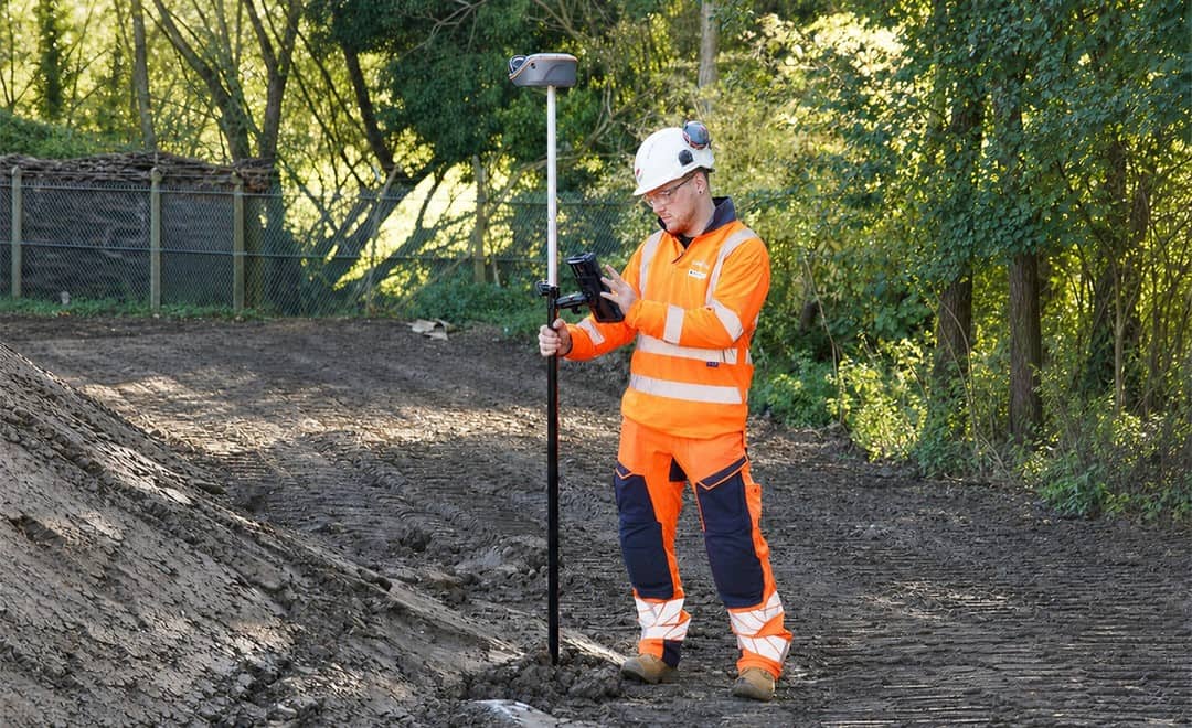
The Vili i100 Visual-LiDAR GNSS RTK receiver delivers reliable GNSS positioning on construction site.
These issues are increasingly addressed through multi-source data fusion. By combining GNSS with vision, inertial sensors, and LiDAR, positioning systems can maintain continuity when satellite signals are compromised. This reflects a broader shift toward confidence-based workflows that adapt to real-world conditions rather than forcing users to work around technical limitations.
For CHC Navigation, this direction is central to the evolution of positioning, mapping, and navigation technologies. The objective is to make high-precision geospatial data more dependable in the environments where professionals actually work, including urban corridors, vegetation-covered areas, infrastructure sites, and complex field operations.
Moving Beyond Mainstream Handheld Scanners
The rapid growth of handheld laser scanning has created a crowded market, with many devices built around prosumer-grade IMUs and standard LiDAR components. While some designs can be suitable for short capture sessions, limitations often become more visible as workflows scale. Common issues include reduced coverage, accumulated trajectory drift, and incomplete data in longer or more complex environments.
The RS7 handheld SLAM scanner reflects a different design philosophy. It does not focus only on device-level specifications, but also on workflow reliability. The RS7 integrates a professional-grade IMU to support stable trajectory estimation over extended scans, combined with a LiDAR design tailored for indoor laser scanning and modeling in construction and architecture applications. Higher point density and a wider field of view contribute to more complete coverage and help reduce drift risk.
The RS7 Handheld Real-Time 3D LiDAR Scanner captures accurate spatial data in complex indoor environments.
This design philosophy shifts attention from isolated scans to end-to-end reality capture workflows. By improving accuracy, stability, and completeness at the capture stage, downstream processing becomes more predictable, reducing the need for manual cleanup and re-scanning. This increases confidence when scanning large interiors, long corridors, or complex mixed environments where drift and incomplete coverage often create downstream issues.
What This Means Going Forward
As geospatial technology becomes embedded in everyday operations, progress will be defined by the ability to combine innovation with practicality, and global scale with local execution.
CHC Navigation’s direction for 2026 is built around long-term leadership in core technology, balanced growth, and close collaboration with its global partner network. The shared ambition is to make reality capture, positioning, and navigation more reliable, more repeatable, and more productive in daily work.
As the geospatial industry continues to evolve, those who can turn technology into consistent operational value will shape what comes next. CHC Navigation enters this phase with a clear focus, working alongside partners and end users worldwide to advance geospatial technology and build a connected geospatial future.
____
About CHC Navigation
CHC Navigation (CHCNAV) develops advanced mapping, navigation, and positioning solutions designed to increase productivity and efficiency. Serving industries such as geospatial, agriculture, machine control, and autonomy, CHCNAV delivers innovative technologies that empower professionals and drive industry advancement. With a global presence spanning over 140 countries and a team of more than 2,200 professionals, CHC Navigation is recognized as a leader in the geospatial industry and beyond. For more information about CHC Navigation [Huace:300627.SZ], please visit: https://www.chcnav.com/about/overview
Have a question about our solutions or dealership opportunities?