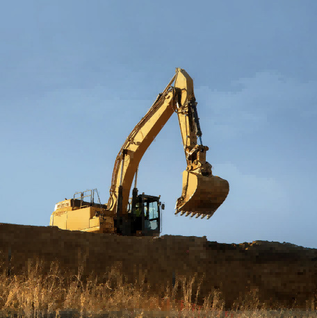
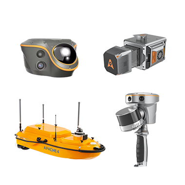
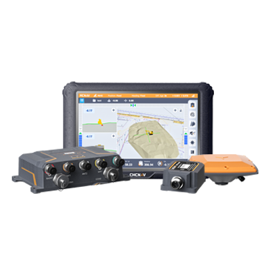
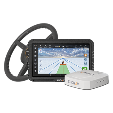
CHC Navigation offers advanced GPS/GNSS machine control systems for excavators, dozers, graders, and compactors. Improve accuracy, cut costs, and complete construction projects faster with reliable global support.
From GNSS to Spatial Intelligence: The Core Technologies Powering Location-Based Industries
20 Sept 2026
Location-based industries are undergoing a significant technological transformation. Surveying, construction, infrastructure management, precision agriculture, marine surveying, reality capture, and autonomous systems all depend on accurate spatial information to support planning, operations, and decision-making.
While Global Navigation Satellite Systems (GNSS) remain the foundation of high-precision positioning, efficient geospatial workflows rely on a broader ecosystem of complementary technologies. Inertial navigation, LiDAR, imaging, SLAM, correction services, advanced algorithms, cloud platforms, and geospatial software increasingly work together to deliver reliable spatial intelligence under real-world conditions.
This evolution reflects a broader industry shift. Organizations no longer require positioning technology alone. They need integrated solutions that transform measurements into actionable information, allowing field teams, office professionals, and intelligent machines to work from the same spatial reference.
GNSS Remains the Foundation of High-Precision Positioning
GNSS provides the global positioning framework used across professional surveying, mapping, engineering, and navigation. By processing signals from multiple satellite constellations and frequencies, professional receivers can maintain stronger satellite geometry across projects ranging from urban construction sites to transportation corridors and remote infrastructure. RTK, network RTK, PPP, and PPP-RTK further improve accuracy by estimating or correcting satellite orbit and clock errors, atmospheric delays, and reference-network effects.
High-precision GNSS is more accessible than in previous generations of field equipment, but real sites remain challenging. Signal obstruction, multipath, dense vegetation, urban environments, interference, and complex terrain can reduce satellite visibility or measurement quality. Professional workflows therefore increasingly use technologies that complement GNSS rather than attempt to replace it.
Inertial Navigation Systems (INS) play an increasingly important role in maintaining positioning continuity when GNSS signals become temporarily unavailable or degraded. Unlike satellite positioning, INS calculates movement using onboard sensors that measure acceleration, rotation, and orientation. When integrated with GNSS, these measurements help maintain stable positioning while improving trajectory estimation and motion awareness.
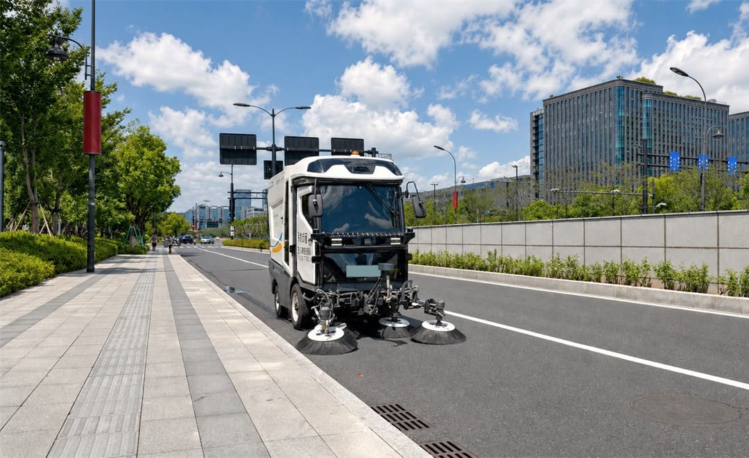
An autonomous sweeping robot equipped with the CHCNAV CGI-230 GNSS/INS integrated navigation system operates along an urban pedestrian pathway, maintaining centimetre-level positioning while cleaning roads.
This capability is particularly valuable for dynamic applications such as mobile mapping, machine guidance, hydrographic surveying, and autonomous navigation. Vehicles and mobile platforms frequently move through environments where satellite signals are partially obstructed by buildings, bridges, trees, or other structures. By combining GNSS with inertial measurements, positioning systems can continue producing reliable spatial information throughout these transitions. INS also enables capabilities such as tilt compensation and attitude determination, allowing field professionals to collect accurate measurements more efficiently while reducing the need for perfectly vertical survey poles or repeated observations.
LiDAR and Imaging Add Context to Positioning Data
Knowing where an object is located represents only one part of understanding the surrounding environment. LiDAR and imaging technologies add the details needed to capture physical reality in three dimensions. LiDAR measures distances by recording the time it takes for laser pulses to return from surrounding surfaces, generating dense point clouds that represent terrain, buildings, vegetation, and infrastructure. Cameras complement this information by providing visual context that supports interpretation, inspection, and documentation. When accurately positioned, these datasets become valuable resources for engineering design, infrastructure management, digital twins, and asset inspection.
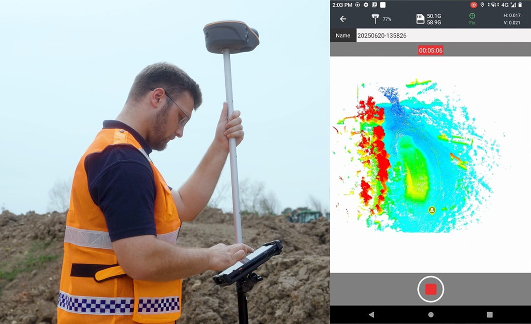
For professionals working in 3D reality capture, positioning accuracy directly affects the quality of the final deliverable. Point clouds, imagery, and survey observations must share a consistent spatial reference before they can be integrated into engineering or GIS workflows. This integration of positioning and sensing technologies continues to expand the possibilities for efficient field data collection. Solutions such as the CHCNAV ViLi i100 demonstrate how GNSS RTK, laser scanning, and visual SLAM can work together within a handheld platform, enabling professionals to capture accurate spatial information across a wider range of environments.
A surveyor uses the CHCNAV ViLi i100 Visual-LiDAR GNSS RTK receiver to capture the geometry of a road under construction using integrated LiDAR and SLAM technology for 3D reality capture.
SLAM Expands Mapping Capabilities
Simultaneous Localization and Mapping, commonly known as SLAM, has become an important technology for mapping environments where GNSS alone cannot provide reliable positioning. Instead of relying exclusively on satellite signals, SLAM continuously estimates the position of a moving sensor while simultaneously building a map of its surroundings. This approach enables efficient mapping inside buildings, industrial facilities, underground spaces, dense urban areas, forests, and other environments where satellite reception may be limited. Rather than replacing GNSS, SLAM extends the capabilities of modern geospatial workflows.
When integrated with LiDAR, imaging systems, inertial sensors, and advanced processing software, it provides a practical solution for capturing complex environments that would otherwise require multiple surveying methods. As infrastructure projects become more diverse, the ability to move seamlessly between outdoor and GNSS-challenged environments is becoming increasingly valuable for geospatial professionals.
Correction Services Improve Accuracy and Reliability
High-precision positioning depends not only on field equipment but also on the correction infrastructure supporting it. Correction services improve GNSS accuracy by estimating satellite orbit and clock errors, atmospheric delays, and reference-network effects. They do not remove local obstruction, multipath, or radio interference, which must be addressed through receiver design, sensor fusion, site procedures, and quality control. Depending on project requirements, corrections may be delivered through local GNSS base stations, CORS networks, internet services, cellular communications, radio links, or satellite broadcasts.
For CHC Navigation users, understanding the distinction between correction services is important. PointSky provides satellite-delivered L-Band GNSS corrections, making it well suited for applications where internet connectivity is limited. PointNet, by comparison, delivers corrections through NTRIP and cellular communication, supporting connected RTK workflows. Both sit within the PointX positioning infrastructure. Regardless of the delivery method, correction services form an essential part of the positioning ecosystem by linking satellites, reference stations, communication networks, processing algorithms, and field users into a reliable positioning infrastructure.
Software and Algorithms Transform Measurements into Spatial Intelligence
Accurate field measurements are only the beginning of the geospatial workflow. Their value depends on how efficiently they can be processed, validated, and applied. Algorithms fuse sensor observations, estimate trajectories, register point clouds, classify features, detect inconsistencies, and support quality control. As datasets grow, processing performance and transparent validation become increasingly important to both productivity and confidence in the final deliverables.
Software plays an equally important role by transforming raw measurements into practical deliverables. Field applications guide data collection and quality control, while office software supports processing, visualization, analysis, and integration with engineering and GIS platforms. Cloud-based collaboration further improves workflow efficiency by allowing field teams and office staff to exchange data more quickly and reduce the time between acquisition and project delivery. Platforms such as CHCNAV CoCloud illustrate how connected software environments can simplify collaboration while supporting more responsive decision-making throughout a project's lifecycle.
Interoperability Is Essential for Geospatial Workflows
Spatial information rarely exists in isolation. Survey data collected in the field often becomes part of much larger digital ecosystems that support engineering, construction, asset management, environmental monitoring, and infrastructure operations. This requires positioning technologies to integrate seamlessly with CAD, GIS, BIM, and enterprise asset management platforms. Open standards and consistent data formats play a critical role in ensuring that spatial information remains accessible throughout every stage of a project.
Interoperability also helps organizations protect long-term investments by allowing them to combine information from multiple technologies without creating disconnected workflows or unnecessary duplication of effort. As digital transformation accelerates, connected geospatial ecosystems will become increasingly important for organizations seeking to maximize the value of their spatial data.
CHC Navigation's Approach to Integrated Spatial Intelligence
CHC Navigation develops technologies that bring together positioning, navigation, mapping, sensing, and software into practical solutions for professional users. Rather than treating GNSS, LiDAR, inertial navigation, SLAM, correction services, and software as separate technologies, the company focuses on integrating them into complete workflows that simplify data collection and improve operational efficiency. This approach reflects the changing needs of location-based industries. Surveyors, engineers, GIS professionals, infrastructure owners, and construction teams increasingly require solutions that move seamlessly from field measurements to reliable deliverables while maintaining accuracy, consistency, and compatibility with existing digital workflows.
By combining complementary technologies within a unified ecosystem, CHC Navigation helps organizations transform raw spatial data into trusted information that supports better planning, faster decision-making, and more efficient project execution.
____
About CHC Navigation
CHC Navigation (CHCNAV) develops advanced mapping, navigation, and positioning solutions designed to increase productivity and efficiency. Serving industries such as geospatial, agriculture, machine control, and autonomy, CHCNAV delivers innovative technologies that empower professionals and drive industry advancement. With a global presence spanning over 140 countries and a team of more than 2,200 professionals, CHC Navigation is recognized as a leader in the geospatial industry and beyond. For more information about CHC Navigation [300627.SZ], please visit: https://www.chcnav.com/about/overview
Have a question about our positioning and mapping technologies?