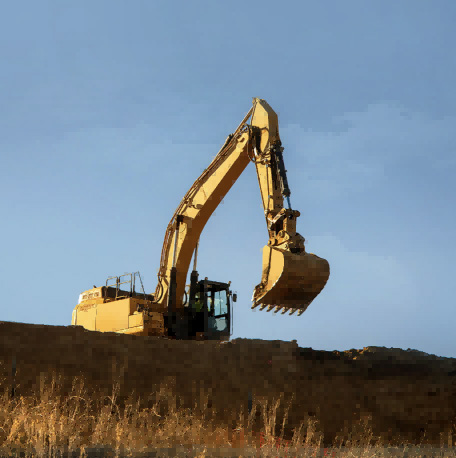
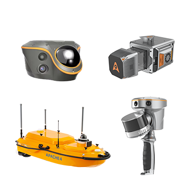
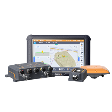
CHC Navigation offers advanced GPS/GNSS machine control systems for excavators, dozers, graders, and compactors. Improve accuracy, cut costs, and complete construction projects faster with reliable global support.
Resilient Positioning Technology: Why Reliability Matters in a Connected Industrial World
5 Nov 2026
For decades, positioning performance was discussed primarily in terms of accuracy. Centimeter-level results remain essential in surveying, construction, infrastructure, agriculture, marine operations, and mapping, but connected industrial workflows now require more. Positioning must remain available when needed, communicate when quality is degrading, and recover efficiently after signal or correction interruptions.
As industries digitize and automate more operations, positioning resilience is becoming a key factor in productivity, data confidence, and operational continuity.
Why Reliability Has Become a Core Performance Requirement
High-precision positioning is no longer limited to traditional surveying applications. Today it supports machine guidance, infrastructure construction, hydrographic surveying, precision agriculture, mobile mapping, environmental monitoring, robotic navigation, and autonomous systems. Many of these applications operate continuously, requiring positioning information to remain stable throughout an entire workflow rather than during isolated measurements.
Field conditions are rarely predictable. Buildings, bridges, vegetation, terrain, multipath, radio-frequency interference, and communication outages can all affect positioning. A resilient system should not imply unchanged accuracy under every condition. It should detect degradation, maintain a bounded estimate where appropriate, communicate uncertainty, and recover quickly when reliable observations or corrections return.
The Hidden Cost of Positioning Interruptions
Even brief interruptions in positioning can affect project efficiency. A survey team may need to repeat observations after discovering gaps during data processing. Construction operations can be delayed while machine guidance systems wait for reliable positioning corrections. Mobile mapping projects may require additional field visits if trajectories cannot be validated, while autonomous systems often reduce operating speed or enter safe operating modes whenever positioning confidence decreases.
Although these interruptions may appear minor individually, their cumulative impact can be significant across large projects involving multiple teams, machines, and locations. The resulting delays affect labor productivity, equipment utilization, project schedules, and ultimately the confidence that organizations place in their digital workflows. Improving positioning resilience helps reduce these risks by maintaining continuity, minimizing unnecessary fieldwork, and supporting more consistent project execution.
What Makes a Positioning System Resilient?
Positioning resilience is achieved through a layered architecture. Multi-constellation GNSS and robust signal processing improve observation availability. Correction services support high-accuracy positioning, while inertial navigation can bridge short GNSS interruptions as its uncertainty is monitored. Sensor fusion adds complementary constraints, and software evaluates solution status so that users or automated systems can respond appropriately when performance changes.
Hardware and communications are part of the same resilience chain. Professional equipment must withstand environmental stress, provide dependable power and connectivity options, and expose clear diagnostics. Reliability therefore depends on signal processing, sensors, communications, hardware design, software, and operating procedures working together.
The CHCNAV i85 reflects this integrated approach by combining GNSS RTK positioning, inertial measurement technology, visual capabilities, and laser measurement within a compact surveying solution designed for demanding field environments.
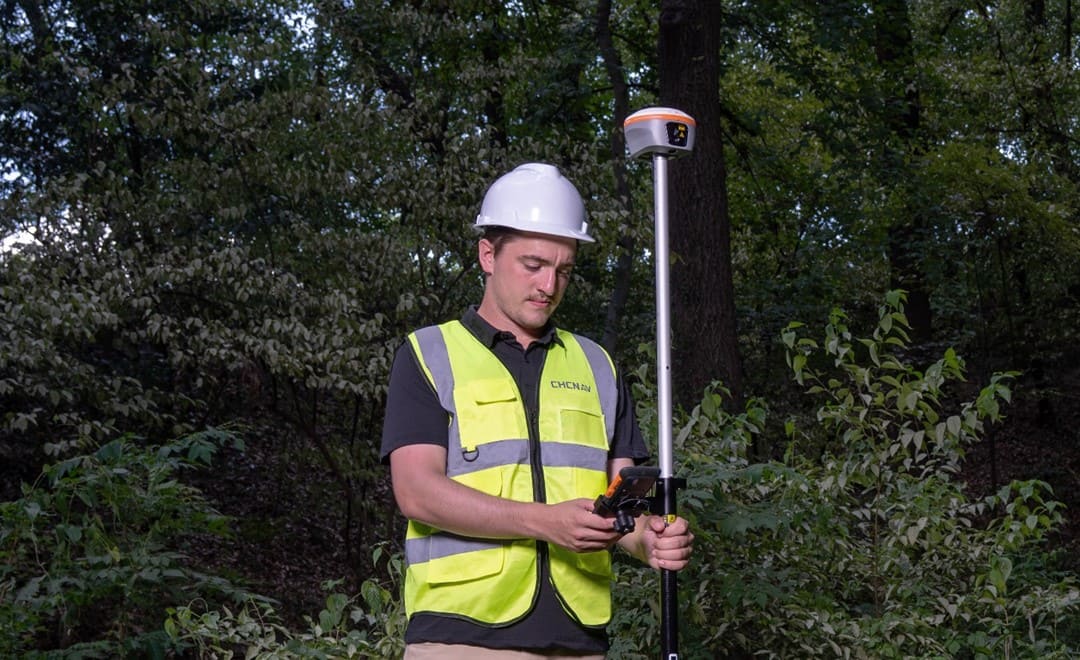
A surveyor operates the CHCNAV i85 GNSS receiver beneath a tree canopy on a construction project.
Layered Technologies Deliver More Reliable Positioning
Reliable positioning is not the result of a single technology. GNSS provides the absolute reference; corrections improve its accuracy; inertial navigation contributes high-rate motion and attitude information; and LiDAR, imaging, SLAM, or other local sensors can add constraints when satellite visibility is limited. The goal is graceful degradation: maintaining useful performance where possible, making uncertainty visible, and supporting an appropriate fallback response rather than allowing an unexplained failure. Recovery is equally important. After an interruption, the system may need to reacquire signals, restore correction data, resolve carrier-phase ambiguities, and realign the absolute and inertial solutions before full performance is confirmed.
Positioning Integrity Builds Data Confidence
Accurate coordinates alone are not sufficient for professional decision-making. Users also need information about solution status, correction availability, estimated uncertainty, and sensor health. These indicators help determine whether a result meets the tolerance of the current task before the field team leaves the site or an automated system acts on it.
Positioning integrity becomes even more important as spatial information moves between organizations, software platforms, and project phases. The person analyzing the data may not be the individual who collected it. Preserving solution status, timestamps, coordinate-reference information, correction sources, and processing records helps downstream users judge whether a result remains suitable for engineering, construction, inspection, or asset management. In automated applications, the same information can support defined fallback behaviors such as slowing, restricting an operating area, or stopping safely when confidence falls below a required threshold.
CHC Navigation's Approach to Resilient Positioning
Positioning technology is entering a new stage of development in which reliability is becoming just as important as accuracy. As connected workflows, digital infrastructure, and industrial automation continue to expand, organizations require positioning systems that maintain dependable performance under changing environmental and operational conditions. Resilient positioning supports continuous workflows, improves confidence in spatial data, and helps reduce the operational impact of interruptions that can affect productivity and project outcomes.
By integrating positioning, navigation, sensing, correction services, and software into connected geospatial workflows, CHC Navigation is helping professionals build the reliable spatial foundation needed to support the next generation of intelligent infrastructure and industrial operations.
____
About CHC Navigation
CHC Navigation (CHCNAV) develops advanced mapping, navigation, and positioning solutions designed to increase productivity and efficiency. Serving industries such as geospatial, agriculture, machine control, and autonomy, CHCNAV delivers innovative technologies that empower professionals and drive industry advancement. With a global presence spanning over 140 countries and a team of more than 2,200 professionals, CHC Navigation is recognized as a leader in the geospatial industry and beyond. For more information about CHC Navigation [300627.SZ], please visit: https://www.chcnav.com/about/overview
Resilient Positioning Technology: Why Reliability Matters in a Connected Industrial World