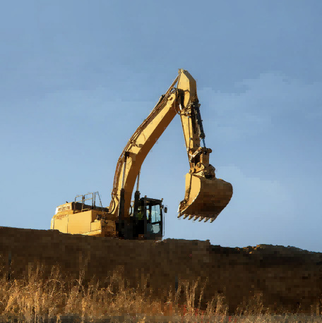
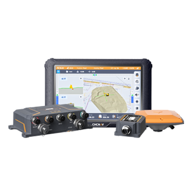
CHC Navigation offers advanced GPS/GNSS machine control systems for excavators, dozers, graders, and compactors. Improve accuracy, cut costs, and complete construction projects faster with reliable global support.
From Sensor Fusion to Spatial Intelligence: How Integrated Technologies Improve Industrial Decision-Making
10 Oct 2026
Across spatially enabled industries, decisions increasingly depend on accurate, reliable, and timely information. Surveyors compare field conditions with design models, construction teams monitor progress, infrastructure owners assess asset conditions, and autonomous systems continuously interpret their surroundings. In each case, location alone is no longer sufficient.
Organizations also need to understand movement, orientation, geometry, context, and change over time. Sensor fusion combines complementary observations from GNSS, inertial navigation, LiDAR, imaging, SLAM, and other sources to create a more complete and defensible estimate of the physical environment. Its value lies not in collecting more data, but in improving continuity, exposing uncertainty, and supporting better-informed operational decisions.
Why Effective Workflows Depend on Multiple Sources of Spatial Data
Every industrial environment presents unique challenges. Construction projects evolve daily, transportation networks extend across large geographic areas, utility infrastructure may be partially concealed, and autonomous platforms often operate in dynamic conditions where visibility constantly changes. No individual sensor performs optimally in every situation.
GNSS provides highly accurate positioning in open environments but may experience reduced performance near tall buildings, dense vegetation, or other obstructions. Inertial sensors continue measuring movement when satellite signals are interrupted, although their accuracy gradually decreases without external correction. LiDAR captures highly detailed 3D geometry but requires accurate positioning and orientation to place that information within a geographic reference frame. Cameras provide valuable visual context, while SLAM enables localization and mapping where satellite visibility is limited.
Each technology contributes different strengths. When these capabilities are combined within an integrated workflow, they provide a more complete understanding of the operating environment than any individual sensor could achieve independently.
Understanding Sensor Fusion in Geospatial Technologies
Sensor fusion combines measurements from multiple sensors to improve the robustness and completeness of an estimated state, such as position, orientation, velocity, trajectory, or surrounding geometry. Rather than treating positioning, navigation, and mapping technologies as separate systems, fusion algorithms compare and weight incoming observations according to their quality and operating conditions. Integration may occur in real time, during post-processing, or at both stages.
Successful sensor fusion requires more than mounting several sensors on the same platform. Precise time synchronization, lever-arm and boresight calibration, suitable error models, and well-designed processing workflows are essential. During field operations, fusion can support navigation, guidance, localization, and quality awareness. During processing, it can refine trajectories, align imagery, register point clouds, and identify inconsistencies that require review.
Complementary Technologies Create More Reliable Spatial Information
The evolution of geospatial technology has shown that the greatest value comes from combining complementary capabilities rather than relying on a single measurement method. GNSS establishes an accurate global position when satellite signals and correction services are available. Inertial navigation provides continuous information about movement and orientation, helping maintain stability during temporary signal interruptions. LiDAR rapidly captures dense 3D geometry, while imaging systems record visual information that supports interpretation, inspection, and documentation. SLAM extends mapping capabilities into environments where satellite positioning alone cannot provide consistent results. These technologies become significantly more valuable when integrated through software that manages calibration, synchronization, quality control, and data processing.
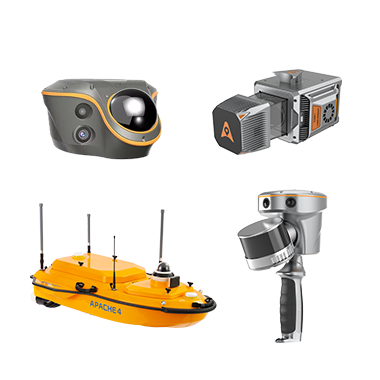
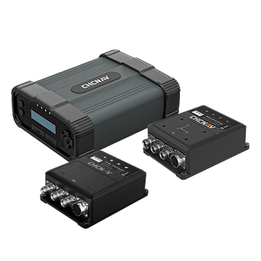
CHC Navigation applies this approach across multiple solution areas. The CHCNAV CGI-610 combines GNSS and inertial navigation technologies to provide reliable positioning for navigation and autonomous applications operating in dynamic environments. The CHCNAV RS7 and CHCNAV RS10 demonstrate another form of sensor fusion by integrating high-precision inertial sensing, LiDAR, imaging, and SLAM within a handheld reality capture solution. Although these products address different applications, they illustrate a common principle: integrated sensing can provide a more robust understanding of position, motion, and surrounding geometry than isolated sensors operating independently.
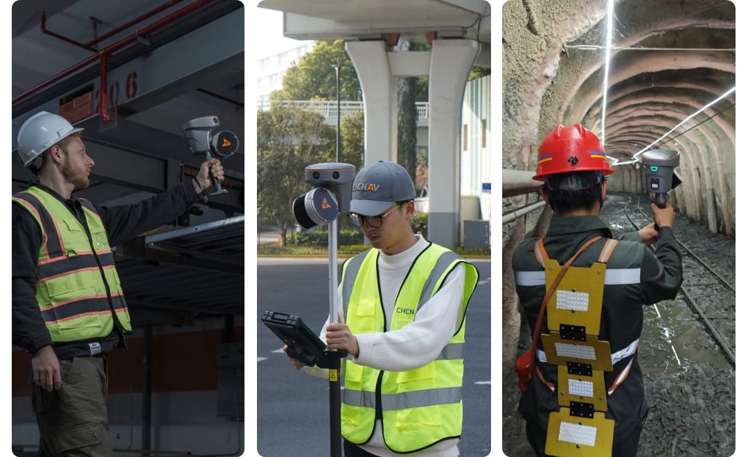
CHCNAV RS10 reality capture scanner used to survey parking lots, road intersections, and underground mine environments, supporting 3D mapping and spatial data collection across diverse operating conditions.
From Multi-Sensor Data to Spatial Intelligence
Collecting more data does not automatically lead to better decisions. Organizations must transform measurements into information that is accurate, consistent, and meaningful within the context of a project. Spatial intelligence represents this next stage of the workflow. It combines location, geometry, time, and environmental context to help users understand what is happening, why it matters, and what actions should follow.
For example, a point cloud becomes substantially more valuable once it has been accurately georeferenced, classified, and connected to engineering designs or asset records. Similarly, imagery becomes more useful when it supports inspection, measurement, or project documentation. Positioning trajectories provide greater operational value when they remain stable throughout data collection and can be confidently linked with observations from other sensors. The real benefit of sensor fusion lies in converting separate measurements into trusted information that supports practical decision-making.
Integrated Technologies Improve Confidence Throughout the Project Lifecycle
Industrial projects increasingly require decisions to be made quickly without compromising data quality. Integrated technologies improve confidence because different sensors can constrain or check one another. When GNSS visibility decreases, inertial measurements can bridge short interruptions while uncertainty grows. Imagery can add context where geometry alone is ambiguous, and repeated or overlapping observations can expose inconsistencies before they affect downstream deliverables.
This can also improve operational efficiency. Field teams can capture complementary information during one mobilization, while office teams receive synchronized datasets rather than manually reconciling disconnected sources. The practical benefit is earlier verification and a clearer basis for deciding whether data is complete, whether work conforms to design, or whether further investigation is required.
Algorithms Connect Data to Decision-Making
Behind every integrated positioning system is a sophisticated software framework that transforms raw sensor measurements into reliable outputs. Advanced algorithms continuously process GNSS observations, inertial measurements, LiDAR scans, imagery, and SLAM data to estimate trajectories, register point clouds, classify objects, filter noise, and evaluate measurement quality. Automation has become increasingly important as geospatial datasets continue to grow in both size and complexity. Rather than replacing professional expertise, automated processing enables surveyors, engineers, and GIS specialists to spend less time managing repetitive processing tasks and more time validating results and interpreting project outcomes. However, even the most advanced algorithms depend on high-quality input data. Reliable positioning, proper calibration, and disciplined field procedures remain essential for producing trustworthy deliverables.
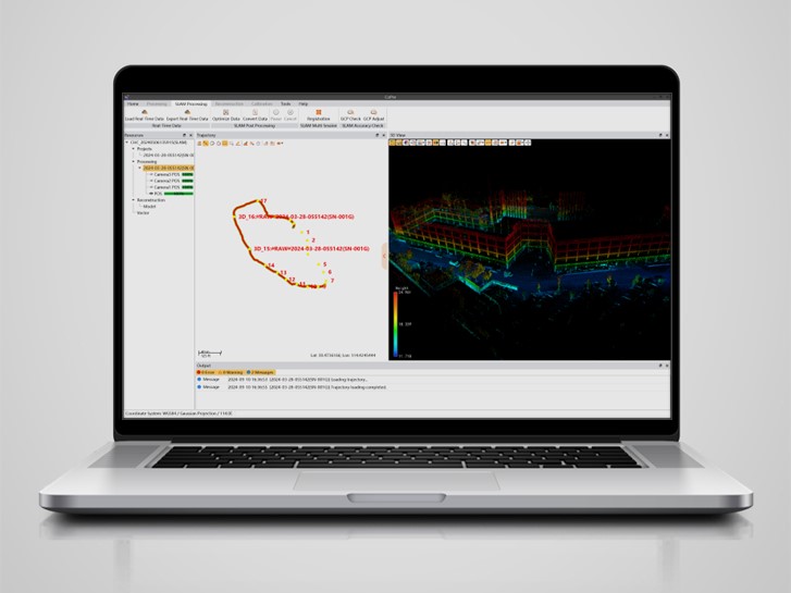
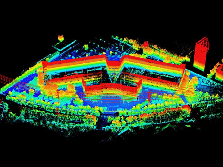
Processing LiDAR data in CHCNAV CoPre software to generate and refine spatial data for 3D mapping and reality capture project.
Supporting Better Decisions Across Industries
The benefits of sensor fusion extend across a wide range of professional applications. In construction, integrated spatial data supports site layout, machine guidance, progress verification, and as-built documentation. Infrastructure owners use multiple sensing technologies to monitor asset conditions, detect changes over time, and support maintenance planning. Geospatial professionals combine positioning with reality capture technologies to document increasingly complex environments, while navigation and autonomous systems rely on sensor fusion to maintain accurate localization during continuous movement.
Although these industries have different tolerances and operating constraints, decisions must be based on spatial information whose quality and limitations are clearly understood. Sensor fusion strengthens that basis by combining complementary observations and making inconsistencies more visible than a single measurement method can.
CHC Navigation's Approach to Integrated Spatial Intelligence
Sensor fusion is changing how industries collect, interpret, and apply spatial information. By combining GNSS, inertial navigation, LiDAR, imaging, SLAM, advanced processing algorithms, and software platforms, CHC Navigation helps professionals capture, process, and manage spatial information with greater confidence across diverse operating environments.
As digital transformation continues across surveying, construction, infrastructure, marine operations, and autonomous systems, integrated geospatial workflows will become increasingly important. The goal is to create trusted spatial intelligence that supports faster decisions, more efficient operations, and better long-term outcomes. Through the integration of positioning, navigation, mapping, sensing, and software technologies, CHC Navigation is helping professionals build that foundation for the next generation of intelligent industrial workflows.
____
About CHC Navigation
CHC Navigation (CHCNAV) develops advanced mapping, navigation, and positioning solutions designed to increase productivity and efficiency. Serving industries such as geospatial, agriculture, machine control, and autonomy, CHCNAV delivers innovative technologies that empower professionals and drive industry advancement. With a global presence spanning over 140 countries and a team of more than 2,200 professionals, CHC Navigation is recognized as a leader in the geospatial industry and beyond. For more information about CHC Navigation [300627.SZ], please visit: https://www.chcnav.com/about/overview
Have a question about our positioning and mapping technologies?