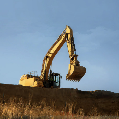
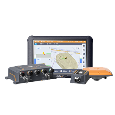
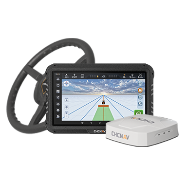
CHC Navigation offers advanced GPS/GNSS machine control systems for excavators, dozers, graders, and compactors. Improve accuracy, cut costs, and complete construction projects faster with reliable global support.
Why Trusted Geospatial Data Matters for Smarter Infrastructure, Automation, and Industry
22 Oct 2026
As industries adopt more connected and automated workflows, geospatial data quality has become a direct operational concern. Surveying, construction, infrastructure management, agriculture, marine operations, environmental monitoring, and autonomous systems all rely on spatial information to plan work, verify outcomes, and manage assets over time.
Digital twins, GIS platforms, Building Information Modeling (BIM), machine control, monitoring systems, and automated workflows can only be as reliable as the information they use. Trusted geospatial data is therefore not simply accurate data. It is data whose quality, origin, currency, and limitations are understood well enough for the intended decision.
Geospatial Data Provides a Shared Operational Reference
Every digital representation of the built or natural environment begins with spatial information. Geospatial data describes the location, dimensions, and characteristics of physical features, allowing professionals to understand how infrastructure, terrain, assets, and environments relate to one another. It provides the common reference that enables information collected by different teams and technologies to work together within a unified framework.
Survey measurements, LiDAR point clouds, UAV imagery, GIS databases, engineering designs, and inspection records all become significantly more valuable when they share a consistent spatial reference. As organizations continue to integrate field operations with digital platforms, reliable geospatial data creates the foundation that allows digital models to accurately reflect real-world conditions.
What Makes Geospatial Data Trustworthy?
Not all spatial data provides the same level of confidence. Quality must be evaluated against intended use. Information suitable for early planning may not meet the requirements of construction verification, deformation monitoring, or asset management. Beyond positional accuracy, trusted geospatial data depends on repeatability, traceability, timeliness, completeness, and interoperability.
Repeatability allows observations collected at different times to be compared consistently. Traceability records how data was acquired, referenced, processed, and validated. Timeliness determines whether the dataset still represents current conditions, while interoperability allows information to move between GIS, CAD, BIM, asset-management, and other digital platforms without losing its spatial meaning.
Together, these characteristics define whether a dataset is fit for purpose and can be used with appropriate confidence throughout the asset lifecycle.
Poor Geospatial Data Creates Long-Term Costs
The consequences of poor spatial data are often not immediately visible. Small errors introduced during data collection can affect multiple downstream activities, increasing project costs and reducing operational efficiency. Inaccurate positioning may lead to construction misalignment, incorrect quantities, unreliable asset inventories, or incomplete inspection records. Inconsistent datasets can create uncertainty between project stakeholders and make it more difficult to compare information collected over time.
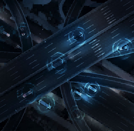
The impact becomes even greater as organizations adopt automation. Machine guidance systems, robotic platforms, and autonomous vehicles all rely on trusted spatial information to operate safely and efficiently. When positioning data cannot be relied upon, additional manual verification, repeated measurements, or corrective work may be required, reducing the productivity gains that automation is intended to deliver.
Because infrastructure assets often remain in service for decades, the effects of poor geospatial data can extend far beyond the original project, influencing maintenance, inspection, and future upgrades throughout the asset's operational life.
Reliable Spatial Data Supports Digital Infrastructure
Infrastructure projects are becoming increasingly data-driven. Roads, railways, bridges, utilities, ports, buildings, and public infrastructure are now planned, constructed, monitored, and maintained using digital workflows that integrate information from multiple sources. Geographic Information Systems help organizations organize and analyze spatial information across large networks. Building Information Modeling supports collaboration throughout the design, construction, and operational phases of an asset. Digital twins combine these datasets to provide a continuously updated representation of physical infrastructure.
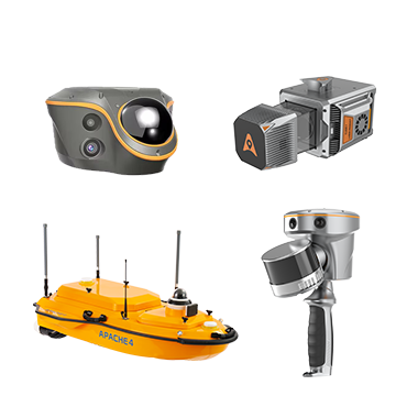
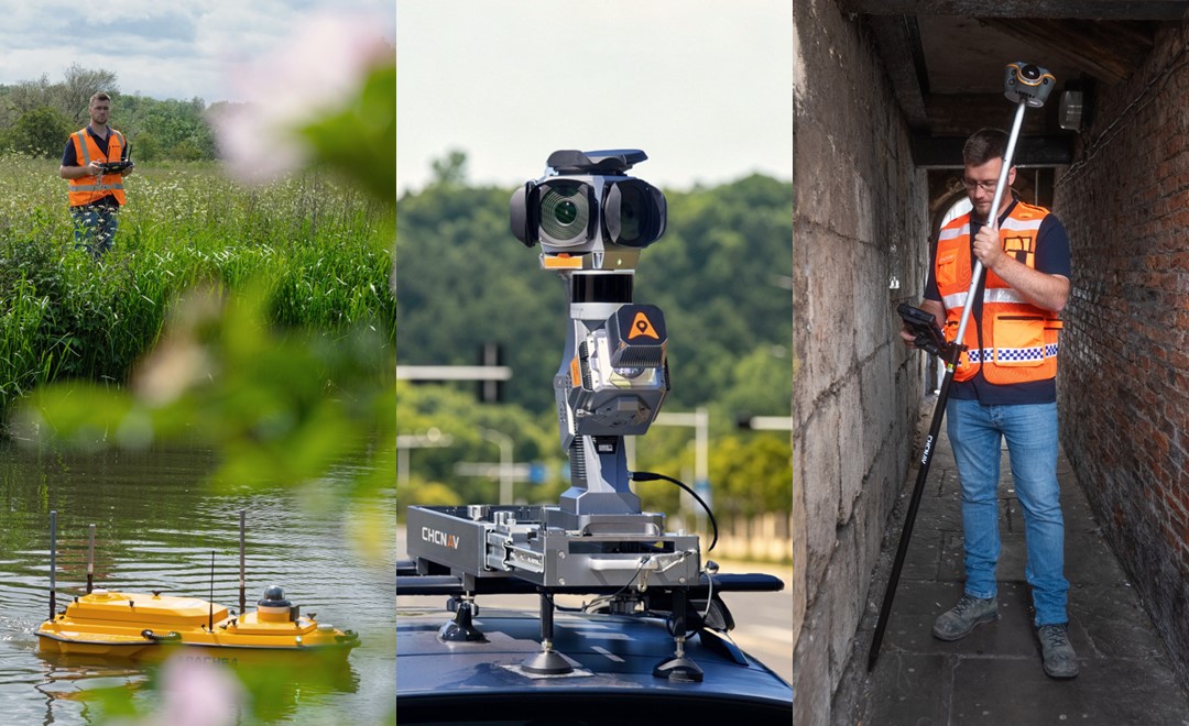
Examples of geospatial data collection using CHCNAV technologies, including the APACHE 4 USV for hydrographic surveying, the AU20MMS mobile mapping system for road and infrastructure mapping, and the ViLi i100 Visual-LiDAR GNSS RTK receiver for surveying existing buildings and capturing 3D spatial data to support renovation projects.
Each of these technologies depends on reliable geospatial information. When spatial data is inconsistent or incomplete, confidence in the entire digital workflow is reduced. Conversely, trusted geospatial data enables organizations to improve collaboration, reduce uncertainty, and make more informed decisions throughout every stage of an infrastructure project. Solutions such as the CHCNAV ViLi i100 demonstrate how integrated positioning, LiDAR, imaging, and field software can support high-quality spatial data acquisition at the source, helping establish a reliable foundation for downstream workflows.
Trusted Data Enables More Effective Automation
Automation depends on accurate knowledge of the physical environment. Whether guiding construction equipment, navigating autonomous vehicles, monitoring infrastructure, or processing reality capture datasets, automated systems rely on spatial information to understand where they are, how they are moving, and what actions should be performed. Reliable geospatial data improves the performance of these systems by providing consistent positioning and environmental context. The relationship between automation and data quality is straightforward. Better spatial information enables more reliable automation, while poor data increases operational uncertainty and limits the effectiveness of automated workflows.
Quality Assurance Must Extend Throughout the Workflow
As geospatial information moves between project sites, offices, cloud platforms, and project stakeholders, quality assurance must extend across the complete data lifecycle. It should begin with project requirements and acquisition, continue through calibration, processing and validation, and remain visible in the final deliverable through metadata, coordinate-reference information, quality indicators, and review records. Effective quality control reduces uncertainty without adding unnecessary process for its own sake.
Technology Supports Expertise Rather Than Replacing It
Advances in automation and artificial intelligence are changing how geospatial data is collected and processed, but professional expertise remains central to producing reliable outcomes. Surveyors, engineers, GIS specialists, and mapping professionals continue to define project requirements, establish coordinate reference systems, assess measurement quality, interpret results, and validate final deliverables. Automation reduces repetitive processing tasks and improves operational efficiency, allowing specialists to focus on activities that require technical knowledge and professional judgment. Trusted geospatial data is therefore the result of both advanced technology and skilled professionals working together within transparent, well-managed workflows.
CHC Navigation's Approach to Data Confidence
Trusted geospatial data has become a fundamental requirement for digital infrastructure, automation, and intelligent industrial operations. As organizations increasingly depend on digital twins, GIS, BIM, machine control, and connected asset management systems, the quality of spatial information directly influences the quality of operational decisions. Reliable geospatial data provides the confidence needed to connect field observations with digital workflows, improve collaboration, and support long-term infrastructure management.
By advancing integrated positioning, mapping, sensing, and software technologies, CHC Navigation helps professionals create the trusted spatial information that enables smarter infrastructure, more efficient operations, and better decisions across every stage of the asset lifecycle.
____
About CHC Navigation
CHC Navigation (CHCNAV) develops advanced mapping, navigation, and positioning solutions designed to increase productivity and efficiency. Serving industries such as geospatial, agriculture, machine control, and autonomy, CHCNAV delivers innovative technologies that empower professionals and drive industry advancement. With a global presence spanning over 140 countries and a team of more than 2,200 professionals, CHC Navigation is recognized as a leader in the geospatial industry and beyond. For more information about CHC Navigation [300627.SZ], please visit: https://www.chcnav.com/about/overview
Have a question about our positioning and mapping technologies?